Category Archives: Camping

Sidi Slimane to Kenitra

Standard


IMG_0919

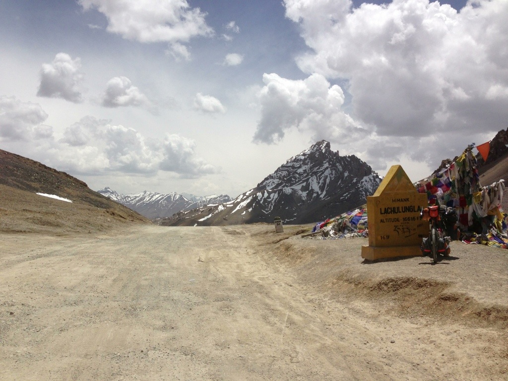
It was tempting to visit the Roman ruins of Volubilis North of Meknes. It figures highly as a ‘must see’ on the tourist trail. However, and having already researched the site on line earlier, I decided to give it a miss. Furthermore rather than follow the main roads back towards Rabat I pushed towards the Atlantic coast a little further North via the R705 and the Foret (Forest) du Garb.

IMG_0905

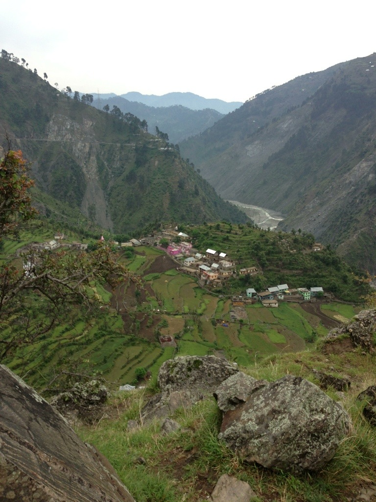
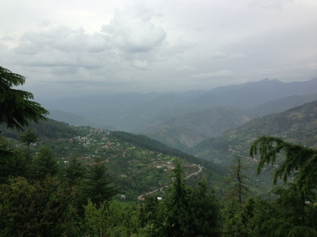
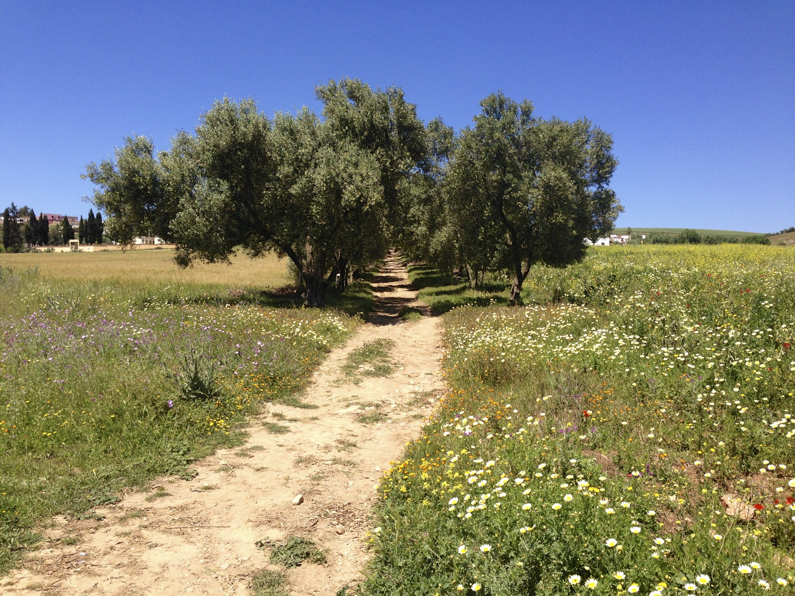
Despite the missed opportunity to see the remains of Ancient Rome’s most Southern outpost I quickly realised the importance of Volubilis and the surrounding area to the Roman Empire. In every direction as far as the eye could see wheat and barley gently swayed in the breeze. I cycled past extensive vineyards and fields with countless lines of olive trees. It is one huge bread basket.

IMG_0912

IMG_0921

IMG_0925

IMG_0928

IMG_0935

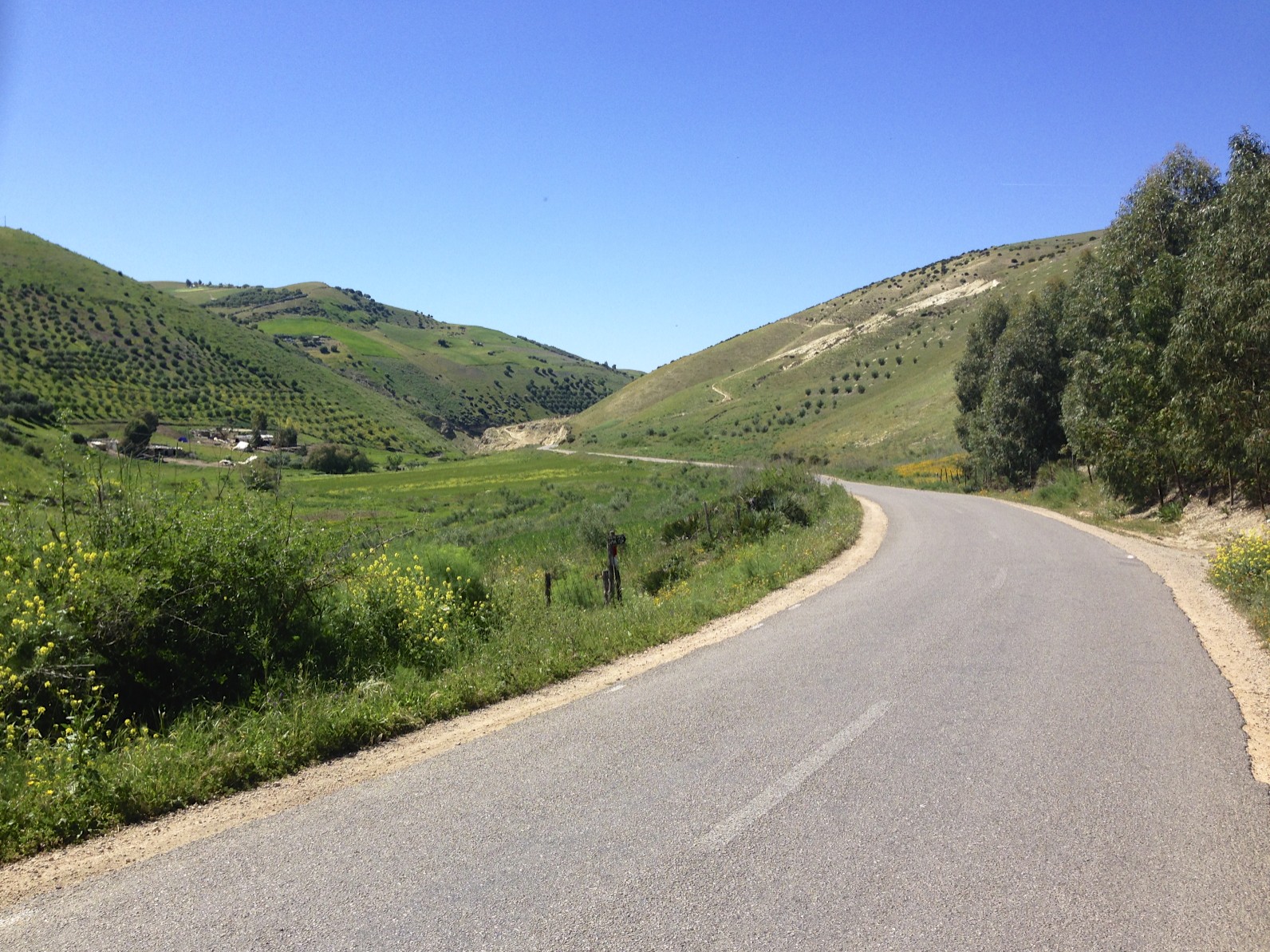
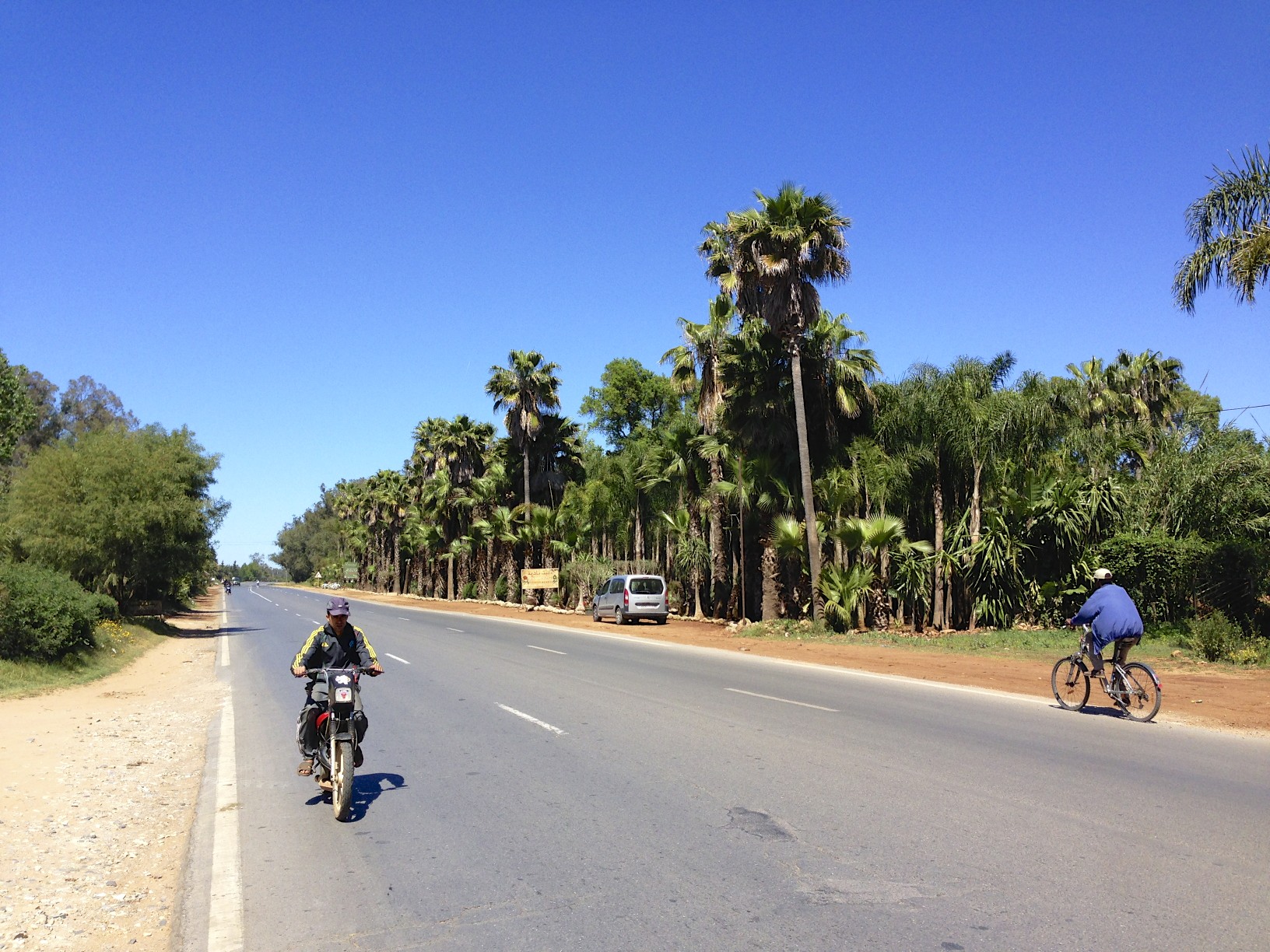
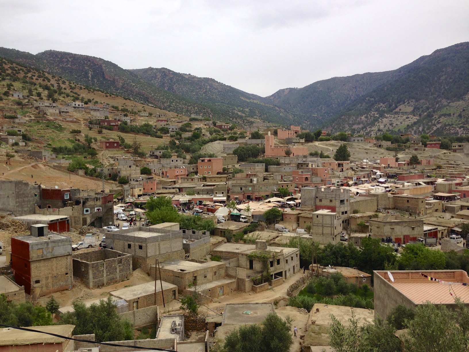
The R705 gradually climbs into the most Western hills of the Middle Atlas before dropping down towards the Atlantic  coast. I stopped in the city of Sidi Slimane at a cafe for yet another tajine cooked casserole.  Sidi Slimane is a busy modern city and administrative centre for the region. As I sat eating I noticed that cycling there was a popular form of transport.. more so than anywhere else I had seen in Morocco. People had pretty good bikes!

IMG_0939


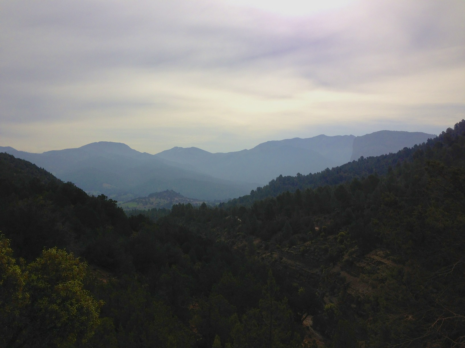
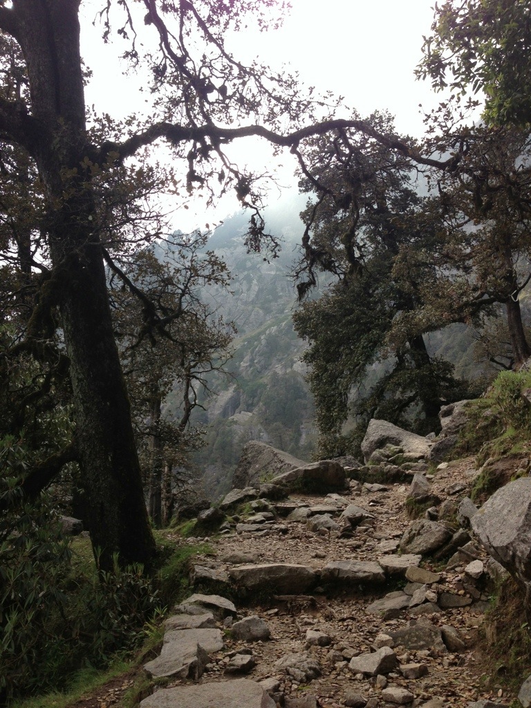
After dinner I set out towards the Foret du Garb which lies approximately 10 kilometres to the West of the city. I had noted this forest on a map when initially planning my trip to Morocco as a potential place to camp. The forest extends over quite a wide area and is home to a Moroccan airforce base.

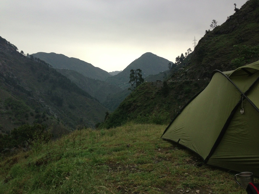
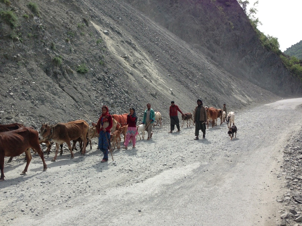
I had hoped for a dense wooded forest to make camp for the night. I was wrong. The ground was mostly sand and the pine trees provided little cover.  After a bit of a trek pushing my bike deeper and deeper into the forest I found a half decent spot with some ground cover and a good view. But no sooner than I had settled in to my sleeping bag for the night than the tent became surrounded by noisy goats. Two herdsmen appeared and were curious as to my identity. After a brief exchange we shook hands and they continued moving their goats through the forest.  Its odd.. but it seems that wherever you are in Morocco, however remote,  you are never far from someone that will notice you. This certainly makes  solo ‘stealth’ camping difficult. I was a little worried that I may have had a visit from people attached to the nearby airforce base should they have been told of the strange foreigner camped in the woods. But the night was blissfully uneventful.


The next mornings ride took me quickly out of the forest and into Kenitra closer to the Atlantic. My plan was to camp next to the sea before  making my way further down the coast to Sale and Rabat. Once past Kenitra the road dropped down as it ran South following the line of the coast. It was a superb ride despite an increase in traffic. But my enthusiasm for finding a good place to camp on or near a beach led me back towards Kenitra via the seafront at the local resort of Mehdya. It was a pretty nasty little seaside town which had as much appeal as the worst kind of English equivalent. Escaping the horrors of Mehdya or Merde-ia as I renamed it took me past a large multi-hotel building site.   I backtracked to where I had left the main coast road. Giving up thoughts of an ideal spot to camp by the sea I decided to try and find somewhere to stay in Sale instead.

IMG_0950 IMG_0951 IMG_0952 IMG_0953

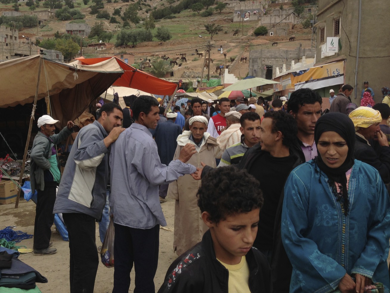
I cycled along the N1 South to Rabat through Sidi Bouknadel. The ride along the coast road reminded me a little of a similar road running South to Negombo in Sri Lanka. It had quite an exotic, yet local flavour with roadside markets and smiling people.    Once again I was making a return run having ‘done’ the distance and encircled much of a country riding my bike.

IMG_0955 IMG_0957 IMG_0960


Tilouguite to Barrage Bin-El-Ouidane

Standard

IMG_0471


With an early start I continued North of La Cathedrale on the R302 which was now a sealed road. It led in time to the town of Tilouguite where a souk or market was in full swing and where I had an early lunch. IMG_0494

IMG_0499IMG_0501IMG_0502

IMG_0509IMG_0511IMG_0513IMG_0519IMG_0520IMG_0526

Once gain the road began to climb until I had a long view of the surrounding mountains. It was somewhat bleak and windy as I climbed towards one final pass before reaching the reservoir at Bin-El-Ouidane. It took a while but then the road levelled, cut through grazing land, curled and began to drop. The road went down and down and down.. The road surface was poor and badly weathered. Clouds clung to the hillsides. Eventually I had a view of the reservoir that lay below. I felt a little sad as I felt I was leaving the High Atlas range, possibly for the last time. But the view of the ‘barrage’ or reservoir was quite thrilling and was a remarkable sight. I pitched my tent before dropping too far so that I could enjoy and wake up to the wonderful view.

IMG_0541IMG_0547IMG_0548IMG_0557

The final test: Rohtang La

Standard

IMG_6656With some regret I cycled away from Keylong. I could quite happily have stayed for longer but the weather and bicycle would not let me. We set off mid morning along the lower road picking up mutton momo, indian sweets and mangos from local shops. A little climb out of the town to rejoin the highway and then down into a left curve. The road went East past the confluence of the Bhagu and Chandra rivers. IMG_6657

The road continued alongside the combined river of Chandrbhaga past the towns of Tandi and Thorang. In time we began to climb again as the road ran on a ledge high above the river. A driver stopped his vehicle to warn us of potential rockfalls from the cliffs above us.

IMG_6658

IMG_6659We stopped for a thali and delicious thick honey pancake at Sissu. Once again the plan was to get as close as possible to the Pass and camp. Past the settlements of Damphug and Khoksar the road began to wind slowly upwards. We camped just beyond the dhabas at Gramphu. Clouds clung to the mountains and the road disappeared above through a long series of hairpin bends. It began to rain.

IMG_6668

IMG_6670I awoke early the next day, cooked breakfast and began the long ride up towards the pass. The sky was clear and the sun began to heat up the road. Although at just under 4000 metres it was not the highest pass to cross it was to be the most difficult and longest climb. Rohtang literally means ‘piles of bodies’ and refers to the number of people that had died having been caught by the extreme changes of weather that can occur there. The road surface was fairly mixed with some sections reduced to rubble. Luckily, and as with the journey from Leh as a whole, the weather held up and the morning sun lifted the clouds away from the summit of the Pass. It was slow hard work and I rested about halfway and waited for Joachim but could still see his tent pitched far below. Once at the top and close to a Buddhist stupa I met an English cyclist heading to Leh on his Trek expedition bicycle. . I asked him to pass a message to Joachim that I was going to continue on past the summit and begin the ride down the other side towards Manali. The Rohtang La itself was extremely busy and crowded with Indian tourists many of whom were on day trips from Manali to visit and play in the snow.

IMG_6677IMG_6678IMG_6690IMG_6693IMG_6694

The road down from the Rohtang pass was in a bad way. Extreme mud made the going difficult. However once past the initial few kilometres it became a smooth fast road leading down and joining the Beas river running towards Manali. At just 51 kilometres from the Rohtang La Manali, the final destination, was easily reachable before nightfall.
It was a great achievement to have completed the 11 day cycle ride from Leh to Manali but at the same time I was a little sad that it was over. It had been the bike ride of a lifetime and felt so, so lucky to have had the opportunity to make this trip.

IMG_6572

The High Road: Baralacha La

Standard

20130713-223705.jpg

The quick decent from Lachulung La via the Gator Loops was exhilarating. The 21 ‘loops’ twisted down and provided an exciting ‘white knuckle’ ride. The road surface was very good although the hairpin curves were a little broken up. Once at the bottom I stopped and marvelled at the ride I had just experienced. Awesome.

20130713-230224.jpg

Once again the scenery had changed. The road ran on a wide ridge alongside a fast river within a big valley. A rough track leading down towards the river looked promising. The grassy ground was ideal for camping and there were tents further along the valley. The tents belonged to nomadic horsemen. Early the next day they moved their horses and donkeys out along the valley towards the Gator Loops.

20130713-232018.jpg

20130713-232057.jpg

20130713-232241.jpg

The valley offered spectacular scenery. We got as close as possible to the next pass and camped. The weather was less kind. it was cold, wet and very windy. I managed to find a fairly sheltered spot in a rocky hollow sandwiched between a lake and a fast moving river causing problems for bikers.

20130713-233418.jpg

20130713-233540.jpg

20130713-233734.jpg

20130713-234001.jpg
The weather in the morning began poor but then the clouds lifted over the pass. It took a bit of effort to cycle up but the icy scenery was spectacular and took us past the Nakee La pass.

20130714-000338.jpg
At this altitude it was quite cold. The warm summer sunshine made all the difference between a comfortable temperature and brass monkey weather.
We took shelter at the seasonal camp of Bharatapur. Grey clouds hung heavy over the Baralacha La to the South. At night the dhabas doubled up as chilly dormitories. Thick layers of quilts were provided. Outside the surroundings looked bleak and the ground froze.

20130714-002728.jpg

20130714-002815.jpg

The High Road: Lachulung La

Standard

20130712-200319.jpg

The run down from Tanglang La was fast and furious. The Southern side of the pass was dust and rocks. Much of the road was almost non existent and provided a bumpy mountain trail that threatened to rattle a bicycle to pieces.
After the almighty slog to reach the pass it was an opportunity to release energy and freewheel down. It was dangerous and exciting. It would be easy to take a spill. I tried to avoid using my brakes and overheating the ‘kool stop’ salmon MTB pads which had served me so well during the trip. A biggish rock leapt up and caught my right shin. My aluminium fuel carrier jumped out of its fitting beneath the cycle frame and suffered a huge dent. Lastly a fixture on my rear carrier came loose but it held together until the mudguard slipped. I was forced to make a ‘pitstop’ to replace the lost Allen bolt and Joachim caught up. It was all great fun.
During the descent it was possible to view the remains of some old buildings and a series of crumbling chortens in the valley. However it all looked long abandoned and as if from a different age.
The valley stretched out into wide plains with high mountains providing distant surroundings. These were the More Plains. It was a barren ‘alien’ desert with very little vegetation and stretched as far the eye could see.
A collection of roadside dhabas created a welcome oasis. One provided tea and a thali for lunch. Once the worst of the sun had passed we bought supplies and set off again through the More plains.

20130712-202255.jpg
20130712-203312.jpg
Nomads herded goats and yaks across the plains. I stopped at an encampment and asked to pitch our tents. I was shown an area between their own tents away from the goats. At several tents men sat shearing goats. The goats, with their legs tied together, did not mind being clipped. However the softest wool on the belly of goats was pulled from them using a large comb. The goats cried like babies!

20130712-214008.jpg
We set off the next morning following another chilly night with the plan to reach the ‘parachute’ camp at Pang (4,600m). The road stretched out ahead for miles and miles..and miles.

20130712-215339.jpg
20130712-215507.jpg
20130712-215543.jpg

Finally a wide river curved below and led quickly to Pang and lunch. The ride down into Pang was in itself quite thrilling.

20130712-220719.jpg
20130712-221021.jpg
At Pang I met and chatted to a French couple cycling to Leh. After the usual thali for lunch I cooled my legs in the river behind the dhaba.

20130712-221438.jpg

The scenery after Pang changed quite dramatically. The road led through tight turns past rocky outcrops and chasms cut by fast flowing rivers. By late afternoon we encountered one such river that flooded the road. Motorcyclists were having some difficulty crossing with their machines.
I waded across and considered possible options. Given the time I thought it wise to stop, make camp and tackle the river early the next day when the water level had dropped. I also had to replace my front inner tube as it had developed a slow leak resulting from a thorn embedded in the tyre. It was only the second puncture since my trip had begun. All credit to the Schwalbe XR tyres.

20130713-072150.jpg
20130713-072253.jpg
20130713-072332.jpg
20130713-072557.jpg
20130713-072642.jpg

Early the next day I climbed up to a cave in the rock face. I gingerly clamoured over a thick sheet of ice and admired the icicles that had formed from dripping water and created little ice mountains on the ground beneath.
The river had become a stream. I ferried my front panniers across before walking the bike to the other side. Together we set off again. The scenery was incredible. Finally, and climbing once again, the landscape opened out with large drifts of snow pulling us towards the Lachulung Pass.

20130713-074301.jpg
20130713-074609.jpg
20130713-074701.jpg

The Lachalung Pass at 5,065 metres marked the second major pass of four including the Nakee La. The weather had held up well and the ride had been a dream.

20130713-080055.jpg

The High Road: Tanglang La

Standard

20130712-094100.jpg
Crossing the river Indus at Upshi represented, from my point of view, the real start of the journey to Manali. The scenery changed quite radically as the road weaved through canyons towards Tanglang La. About 60kms from Leh we made camp by a river. I was impressed by my Swedish companion’s stamina. As a novice cyclist he had completed a fair distance without any major difficulty.

20130712-095759.jpg
The valley widened and the road passed through the Ladakhi villages of Rong, Gya and Rumtse. A stop for tea and then off again.

20130712-100830.jpg
20130712-100938.jpg

My intention was to ride beyond Rumtse (4,100m) and get as close as possible to the main ascent to the pass. At 5,328 metres the Tanglang La was to be the first and highest pass to cross. There were two main considerations and which also applied to the other passes: Firstly the altitude. I felt it important to further acclimatise before attempting the climb. The potential combination of exertion and altitude sickness could become a serious problem. Secondly it is important to avoid crossing rivers and streams in the afternoon. The snowmelt greatly increases flow often turning gentle streams into raging torrents of water crossing the mountain roads.
With the pass within striking distance I set up camp just short of the start of a major and somewhat daunting ascent. The road snaked up and towards the deep snow through a series of loops. At 4,700m it became the ‘basecamp’ to rest and acclimatise before tackling the Tanglang La. I decided it would be sensible to stay camped at that altitude for another night.
The night was bitter cold and ground water froze. I realised my ‘3 season’ Mountain Equipment Dreamcatcher 300 down filled sleeping bag was barely adequate. Waking early the following morning I walked up the valley across a thick blanket of snow and took a long view at the pass towering above in the distance. Tiny looking lorries wound their way slowly along the road. It felt like a massive task to join them.
Returning to camp I was delighted to find myself sharing my route back with a large herd of yaks. Two herdsman had brought them down from a side valley to graze in the grassy meadows. Once the morning sun hit the valley everything quickly heated up. I sat with the brothers and shared their salty tea made with yak butter. In return I gave them rice which they cooked for their lunch. The yaks spread some distance down the valley. By late afternoon they began to walk back up and without any persuasion from the herders or their dogs.
20130712-105831.jpg

20130712-105955.jpg

20130712-110038.jpg

The next day went well. It was an early start before the sun could begin to makes things uncomfortable. The long haul through the loops took us up past wet stony broken roads. Road workers laboured to shore up the worst parts. Thick frozen drifts of snow created high walls alongside. After many hours cycling, the road arced up hugging the mountains until finally reaching Tanglang La at 5,328m above sea level. What a morning!

20130712-112137.jpg

20130712-112234.jpg

20130712-112519.jpg

20130712-112624.jpg
At Tanglang La I made a celebratory fresh coffee using my paraffin fueled MSR dragonfly stove and mocha coffee pot and enjoyed the view from the second highest road pass in the world. It tasted great.

20130712-113212.jpg

20130712-112359.jpg

Shey and beyond.

Standard

20130709-094303.jpg

The route from Leh to Manali covers 475 kilometres of quite extraordinary high altitude scenery. It is, apparently, the world’s second highest ‘motorable’ road.
I was disappointed at Srinagar when, owing to heavy snowfall, I was unable to cycle to Leh via Kargil. Plan B had taken me South into Punjab and then East from Dharmsala to Mandi. On a wild impulse I had struck North to Manali and despite my intention to rest in the peaceful Parvati valley before heading home. Once there it became apparent that I could easily get a lift to Leh with my bike. To finally reach Leh and to have the opportunity to cycle back to Manali was a dream come true

It took careful planning. Altitude is a big factor. Acclimatisation is a must to avoid serious sickness resulting from the low oxygen pressure. Three of the highest passes were over 5000 metres For a large part of the journey there would be no lower altitude than 4,600 metres. I compiled a trip projection detailing distances and altitudes together with potential facilities.
Having already spent time at Manali (2,050m) and then at Leh (3,505m) I had made good progress in terms of adjusting to altitude. I did suffer some nausea during my first few days at Leh but had prepared a little by taking 125 mg of acetazolamide twice daily before my arrival. This helps with the alkalosis caused by an increased respiratory rate. To increase my cardiovascular fitness I climbed up to the Shanti Stupa in Leh early each morning. My first attempt was very slow and I had to take frequent rests. However, and within a week I was able to walk fairly briskly to the top without stopping. I did not cycle every day but made three solid rides that took me beyond Leh and provided some taxing hill work. After two glorious weeks in and around Leh I made preparations to leave. I was to be joined by a young Swedish chap called Joakim who, although had little cycling experience or knowledge, put his faith in me as a seasoned long distance cyclist to get him through. We had to find him a bike and panniers to rent. I turned my nose up at the crap mountain bike a shop tried to unload on him. But we found a half decent touring bike with good mechs and ortlieb panniers. I also persuaded him to buy warmer clothing and kit suitable for the trip. I could see no reason to deny his earnest request to tag along. He was a good bloke and had a decent tent. I set him a provisional date to leave.
Weather was a big factor too and, unusual for Leh, it turned quite wet and cold. Most of Ladakh resides in a ‘rain shadow’ which results in its distinctive powder blue sky. But the weather across all of Northern India was exceptionally bad and severe floods caused many deaths in Uttarakhand. The forecast revealed a window of opportunity within a further 4 days. The sun shone once again and I said my farewells to friends and acquaintances and set off to follow the Indus River. I felt a little apprehensive about such a major expedition much of which would be fairly remote with no available communications. However I felt that I had planned it well and that should serious assistance be needed there was a fair amount of other traffic on the road. Moreover there are, at least, temporary camps at set locations providing supplies along the way.

20130709-110840.jpg

The initial part of the journey was like a pleasant Summer outing. It took in the towns of Shey, Stakna, Thiske and Igu before finally hitting the major junction and Indus River bridge at Upshi.
Shey palace and Gompa provided a wonderful distraction. It was all still part of the magical Kingdom that had stolen my heart.

20130708-211522.jpg

20130708-211947.jpg

20130708-212123.jpg

20130708-212851.jpg

20130709-103449.jpg

20130709-103650.jpg

20130709-103805.jpg

20130709-103914.jpg

20130709-104027.jpg

20130709-104850.jpg

20130709-105019.jpg

20130709-105133.jpg

20130709-105312.jpg

The Snow Line

Standard

20130518-002725.jpg

I took a hike beyond the suburbs and about 9km to Triund. At around 1200m higher than Macleod Ganj it is a good uphill walk over a rocky trail that winds around several hills and through rhododendron forests.

20130517-221031.jpg

20130517-221109.jpg

20130517-221150.jpg

20130517-221338.jpg

20130517-221443.jpg
I met a young Cornishman called Ben drinking tea at a cafe on the way up. Together we reached Triund. It is a strip of land covered in grass and large boulders. It extends out towards the Southern plains below and provides awe inspiring views of Dharamsala to the West and part of the snow capped Dhauladhar mountain range to the North.

20130518-002502.jpg

20130518-002604.jpg
My intention was to trek the 60km to the Inderhara Pass. Ben would have liked to join me but was short of time. The next morning it began to rain quite heavily. I reconsidered my options. I was ill equipped: Insufficient warm clothing, no decent boots or trousers and missing my gortex coat lost with my stolen backpack. It is also a ‘rule’ of trekking that one should not trek alone.
Finally the replacement ‘NorthFace’ backpack I was using was rapidly falling apart at the badly sewn seams. On its first outing in turned out to be piece of crap. I had to sew it back together along the way. I was feeling the cold and took shelter in the lodge provided by the Himachal Pradesh forestry commission. I wrapped myself up in blankets. Sitting on the step and watching the rain I decided I should return to McLeod Ganj. Once the rain had eased I stepped out but instead of taking the path down I was curiously compelled to wander uphill behind the building. I climbed a little higher and found the well marked trail leading North. Painted onto a rock were the words: ‘only one hour to snow line’. Encouraged by this I kept on going until I reached the ‘Snow line cafe’. The mountains looked stunning and towered above me. I continued on and stopped at a river before crossing a small thick glacier. It was an idyllic setting and became the high point of my visit to Dharmsala.

20130518-013110.jpg

20130518-013218.jpg

20130518-013254.jpg
I climbed a little further to @3220metres and reached a small hillside forest decorated with Tibetan prayer flags. I sat for some time and watched a herdsman below leading his herd of goats across the river of thick ice.
I climbed back down and carefully picked my way across the frozen river. I planned to camp again at Triund but once there a chap tried to collar me for an extortionate ‘pitching’ fee. I was not keen to empty my wallet and had just passed so many beautiful places that I could have camped without the expense. I pressed on back down the trail. It was getting late and losing the light. It was a clear starry night. With inadequate space to pitch my tent I slept in my Gortex bivouac on the hillside and at yet another spot marked with a row of fluttering Tibetan prayer flags. The Dhauladher range poked out above the hills behind me and the Kangra valley plain spread out below me like a Google Earth map.
Following breakfast,which I shared with a friendly rook, I made my way back to the suburbs via a trail which led me eventually to the top road and small holdings at upper Dharamkot. From there it was a pleasant walk through the forest and back to McLeod Ganj.

20130518-091626.jpg

20130518-092416.jpg

20130518-092538.jpg

20130518-002651.jpg

Jammu (2)

Standard

20130511-011757.jpg

Dropping down from Patni Top tested my brakes. Traffic made it a little more difficult as I tend to move a little quicker and am forced to brake too much. .Roadworks and an overturned lorry allowed me to slip past queues and have the road to myself. The village of Kud has many shops selling Indian sweets to tourists and I stopped for a selection. The traffic caught me up but then a major bottleneck in the village allowed me once again to get ahead of the pack. I enjoyed the ride down but stopped at an Hindu shrine to devour the sweets I had just bought and restore some energy from my climb.
It had become a lot hotter on this Southern stretch of Jammu. The vegetation more sparse, less green and much is given over to cereal production.

20130510-234522.jpg

20130510-234851.jpg
As the area became increasingly populated and given over to private land it was difficult to find a place to camp. However I found a little spot next to the road which was hidden well enough to avoid excessive local interest.
At this point of my journey I had to consider wether I should visit Jammu itself. Detailed as the ‘city of temples’ the guidebooks are less than impressed I decided that I should cut the corner and keep moving Southwards towards the more temperate climate and hills of Himachal Pradesh. The other consideration was a visit to the Golden Temple at Amritsar and left this thought for when I reached Punjab.
It was a good nights sleep although a return to the fight against mosquitos and which I had forgotten about for some time.
My route took me through Udhampur and East towards Dharamkot, Parnala and Mahampur. The journey through the dry mountain range was quite beautiful. Camping is tricky on such a mountain road with little space next to the road. But I did find somewhere and was so arid and thorny it seemed like I was in Mexico. I punctured my thermarest sleeping mat on a thorn that pushed through the bottom of the tent and despite my efforts with additional layers to prevent it.

20130511-014657.jpg

20130511-014732.jpg

20130511-014814.jpg
I cycled past spectacular lakes and finally arrived at the Ranjit Sagar Dam which is the gateway into the state of Punjab. I stopped at a busy row of tea stands and chatted with a young engineering student that was helping a relative out with his shop. Sadly whilst distracted in conversation my Eastpak backpack disappeared. This was a nuisance as contained some useful bits of kit; torches and trusty penknife, my raincoat, an e-reader, a little money and some personal items. A little disappointing and a low point for my trip but my documents were safe. It could have been worse. There had been a number of tourist coaches and vehicles that had parked whilst I had chatted and so entirely possible that it had been quickly lifted with my noticing.

20130511-021056.jpg

20130511-021122.jpg

It was a very hot day and losing the backpack took a little weight off my back. Beyond the dam I encountered a checkpoint manned by smartly dressed turbaned police. I reported my loss, they took my telephone number and I cycled over the border into the state of Punjab. Next stop Pathankot!

20130511-023210.jpg

..and Jammu.

Image

20130509-221406.jpg

In contrast to the fertile valley of south Kashmir, Jammu is a primarily mountainous state. My cycle ride took me past spectacular scenery. High mountain passes and rivers that carved deeply into the rocks; it was a wonderful experience. Traffic was fine too and not too busy. I considered a room in Banihal but it cost more than I expected and it was a little early to stop. I ploughed on and found the perfect spot to camp high on a ridge with views to die for. This is what cycle touring is all about!

20130510-163928.jpg

20130510-164047.jpg

20130510-164020.jpg

20130510-164206.jpg

20130510-164313.jpg

20130510-164911.jpg

20130510-165009.jpg

20130510-165057.jpg
As I packed to leave an Indian army patrol of three soldiers arrived and I showed them some of my kit. Their detail was to keep watch from the ridge. I was actually surprised when I found it that there wasn’t already some kind of post there as, a rule, all the best spots are usually already taken by the military.
My journey South along Highway 1A continued through the mountains of Jammu. I descended down close to the Chenab river but then climbed again at Patnitop. It was a big climb and had been warned earlier to expect a 25 km rise. It became too late and I was very tired. Finally I camped in a forest and left the rest of the climb to the next day.
Jammu is wonderful and has an alpine quality and perfect climate. It was a truly inspiring cycle ride. I felt that my decision to ride South rather than East to Leh had been a good one.

20130510-172208.jpg

20130510-172254.jpg

20130510-172328.jpg

20130510-172358.jpg

20130510-172428.jpg

20130510-172524.jpg

20130510-172557.jpg

20130510-172715.jpg
Following breakfast of coffee and boiled eggs I continued my climb. I appeared to be as high as any of the surrounding mountains. I stopped for mid morning tea at a roadside cafe that also provided a stop and grazing for herdsmen and their horses. The saddles on the lead horses are often covered in very old fabrics with beautiful designs.

20130510-205256.jpg

20130510-182302.jpg

20130510-182332.jpg

20130510-182346.jpg
Fuelled with tea I set about tackling the hill. Gradually I scaled the gradient until, and at last, I reached the top (2,024 metres) at Patni and a police checkpoint. Once again and as with reaching the kathmandu valley rim (1,500 metres) from Naubise, I felt a real sense of achievement. I chatted with a friendly policeman who insisted on taking my photo with my camera.

From here there was only one way. I knew it was going to be a long way down.

20130510-233036.jpg