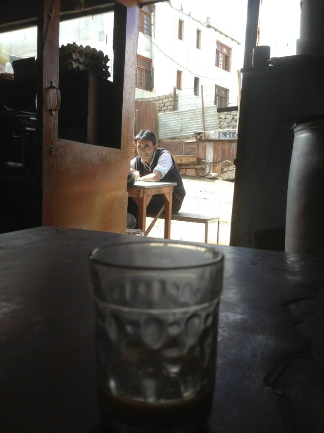
By the third time I had asked for some chicken the men at the Kashmiri poultry shop finally gave way and provided me with some meat. The problem was that the chickens were, as in Srinagar, held live on cages and killed for customers. they were sold by their live weight. I did not want a whole chicken and had no cold storage.
Persistence had paid off. It probably helped that most days I drank tea at the Ladakhi tea stall diagonally opposite and in passing commented that there was ‘no chicken’ for me..whilst also greeting them with a friendly early morning ‘salaam’.
A chap cut up my meat which he had produced from the bottom of a plastic tub covered in a cloth. Hygiene standards are, in typically Indian fashion, non existent and nothing is washed or cleaned. The cutting blocks used by butchers look like hollowed out slabs of tree trunk. My chicken was cut into small pieces and I told them to keep the less useful bony parts.
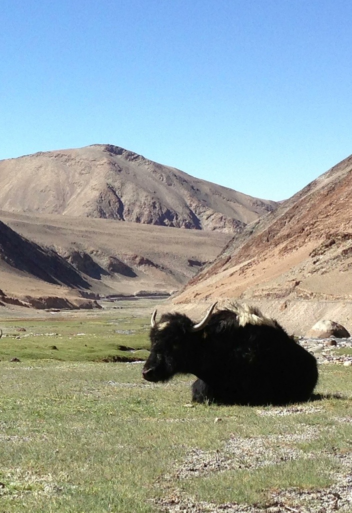
I was grateful for any meat I could get. There were meat stalls selling lamb or goat but prices were a little above my daily budget and preferred fish or chicken. The lamb ribs I had bought and cooked were really chewy. Ladakhi animals lead tough lives in spartan conditions.
A little further along past the tea stall were small shops specialising in cooking stoves and their repair. In Leh kerosene or paraffin is in plentiful supply unlike Manali where it is, inexplicably, as rare as hens teeth. The blue liquid is stored out front in clear glass spirit bottles. In passing I would greet my elderly kerosene supplier with a cheerful ‘Julet’ pronounced ‘joo-lay’. This Ladakh word is very useful as means both hello and goodbye. It also expresses thanks. For my limited local vocabulary it did a lot in the same way as the spiritual greeting of ‘namaste’ in India. Although well stocked with kerosene I needed to get a little extra for my camping stove before my long cycle ride through Ladakh.
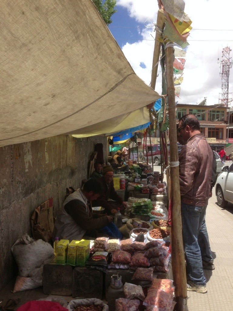
Turning back towards the main bazaar road I walked past the long row of dried fruit and nut sellers (pictured previously) sitting under their tarpaulin shades with their backs to a long curved stone wall. The last woman in the row sold me a mixed selection. She always tipped the scales in my favour and her prices were better than in the shops. The last time I bought from her she noticed my chapped lips and offered me a little of her lip salve. The nuts were always good and became quite addictive. Occasionally tiny pieces of shell would threaten to break my teeth. I do love my nuts.
Walking back towards the mosque were several second hand ‘antique’ dealers with whom I spent some time socialising and buying a few choice items. The first, with an Aladdin’s cave of old and new goods, provided me with a herdsman’s food pannier. After that first encounter he told me I had brought him luck for the rest of that day and had done plenty of business.
I had to repair seams and some holes in the panniers using a darning needle and wool from a knitting store close to Leh Gate. Oddly the woman that ran that shop did not want any money and I had to insist on paying something.
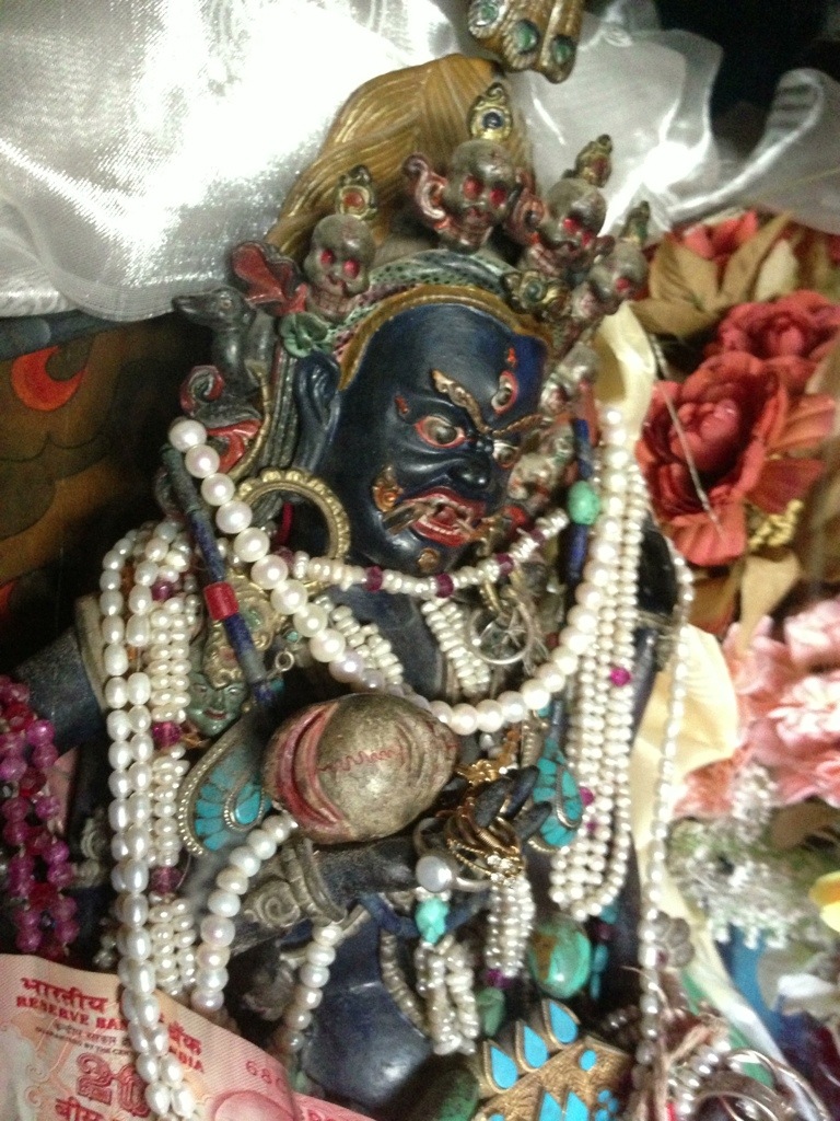
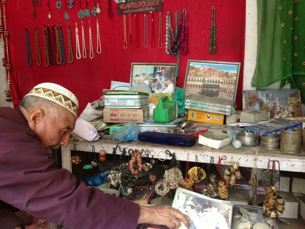
A little time spent sitting in the antique shop on the main bazaar road was quite entertaining. People would bring interesting things in to sell. One elderly traditionally dressed woman brought in a large quantity of Tibetan jewellery. The shopkeeper explained that the woman was an ‘original’ muslim from Lhasa in old Tibet. Much family wealth was brought out of Lhasa in the form of jewellery and precious metals. The shop also provided a good point of exchange for local herdsmen. There was a large collection of animal bells, saddles, bridles and blankets. It was also a dropping off point for worn out traditional clothing much of which was sold on to dealers in Europe. For fun I bought a small yak wool trimmed Ladakhi hat for a pound.
My trip to Stok Palace and its museum collection had piqued my interest in the old currencies and I was able to pick up a 1920s Tibetan ‘Sho-gang’ copper coin from this particular dealer. Having already done the rounds he produced a good selection of coins and Tibetan examples at a fraction of the price of one of the other dealers. Sadly the silver Tibetan coins were a bit expensive (to me) to buy on a whim. Undoubtedly collectors would have jumped on them. The other two second hand dealers in Leh were quite shrewd. One, a Tibetan, had an amazing stock of older items including traditional footwear but wanted ‘top dollar’ for most things. That said I did pick up some plain patterned Tibetan woollen seat covers for a good price. But I factored them in to buying a few things to get the price down.
The other dealer had a shop stall close to the mosque (and the cheese/lassi makers) which had thousands of small old items. It was mostly jewellery and a good range of small objects. Many were broken but it was potentially a good source for any discriminating magpie. His stall also had many personal items floating around on it including family photographs and souvenirs of his pilgrimages.

Early that evening I cleaned, cooked and spiced the ‘chicken’. It was my usual curry using garlic, onions and ginger. It cooked for a long time. When finally it was ready I sat down to eat the meal at the plastic table by the vegetable garden of the Lhari guest house. Whatever the meat was I could not be certain it was chicken. It was tough and stringy. In fact I thought it could be lamb. However, and having briefly seen the carcass in the shop and its short legs, I could only conclude that it was a small mammal of some kind. But what animal.. I had absolutely no idea. My imagination goggled.
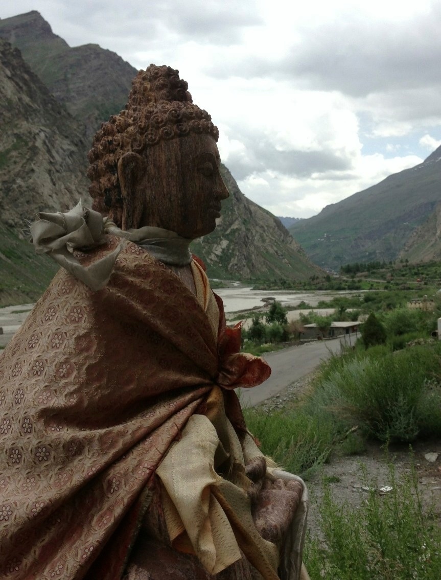
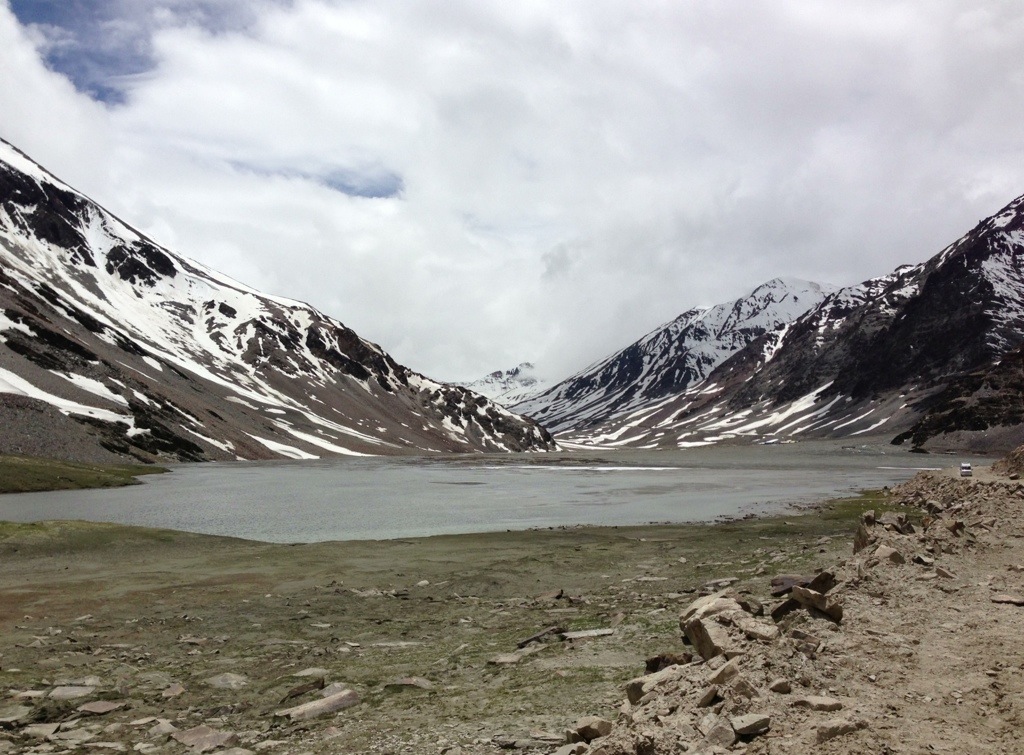
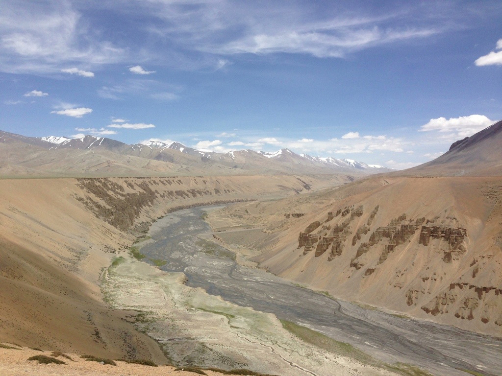
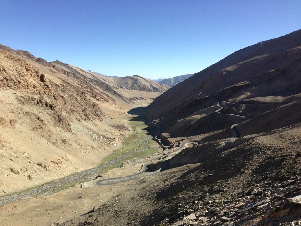
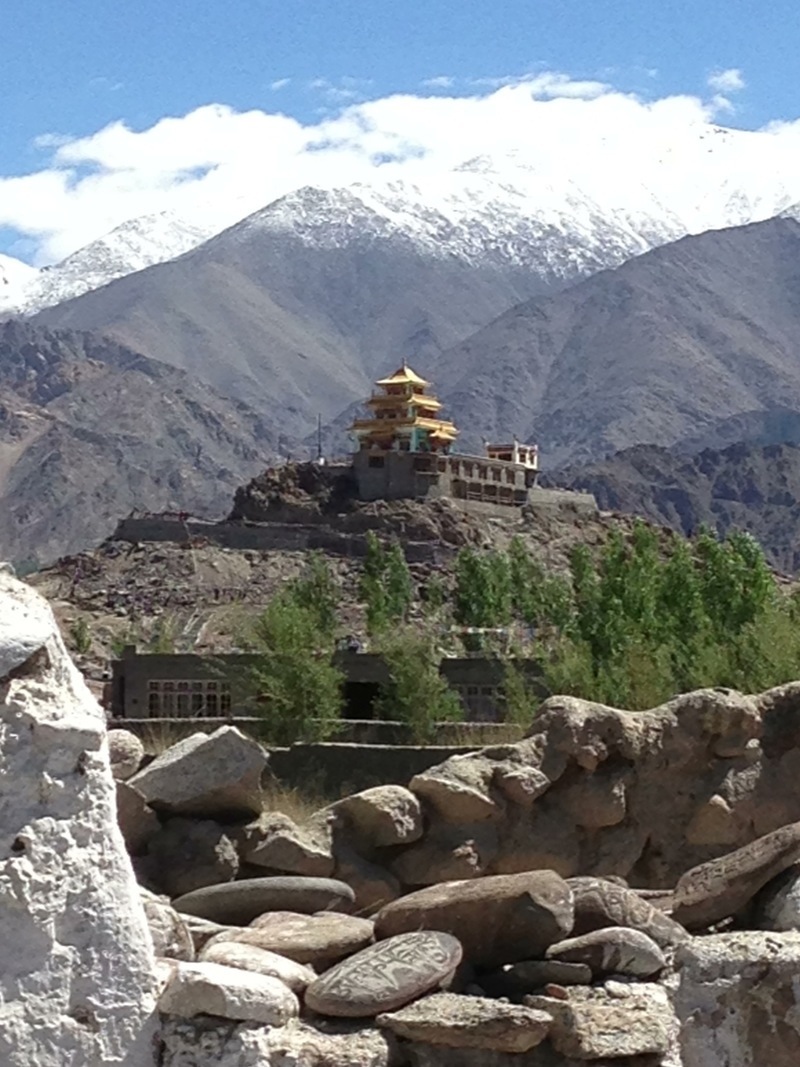
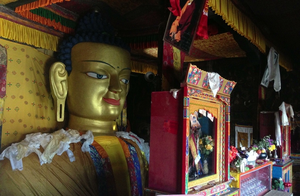
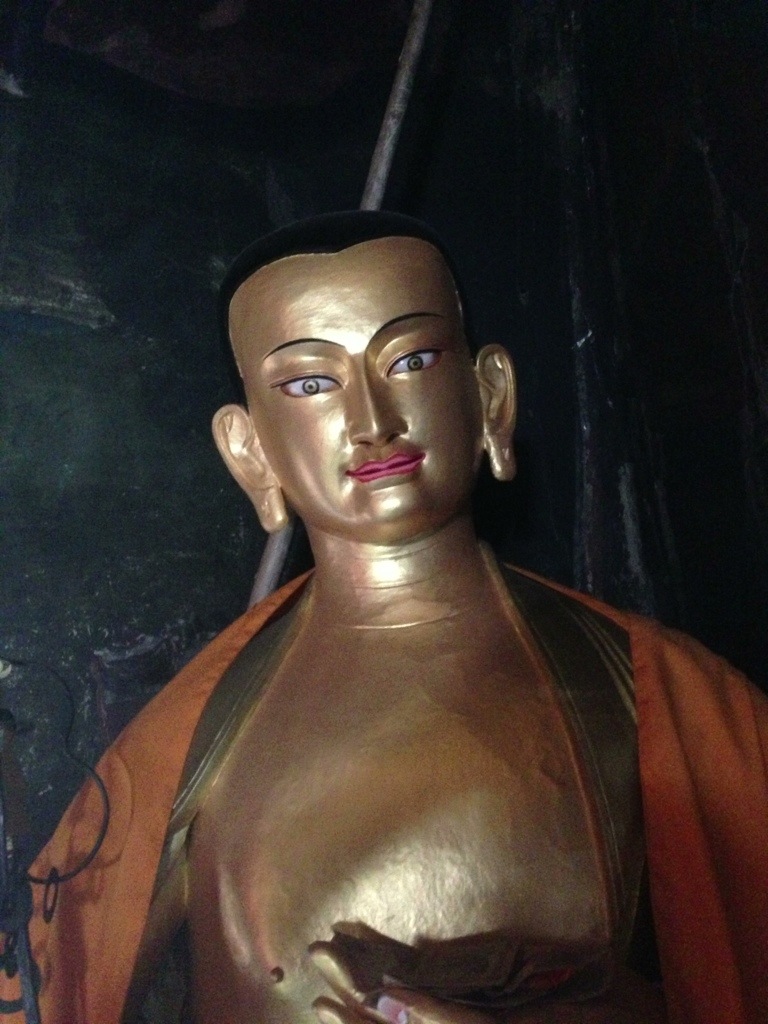
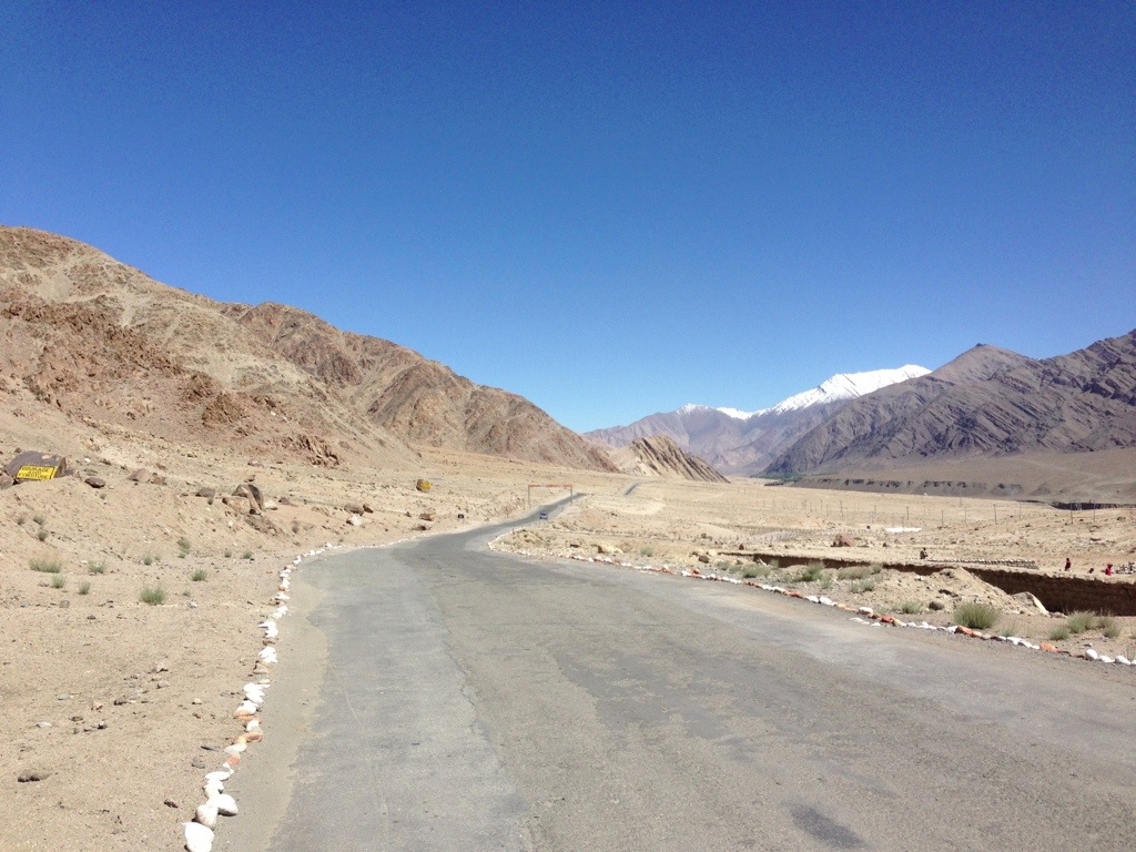
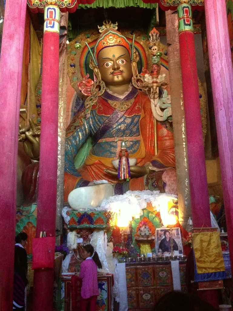
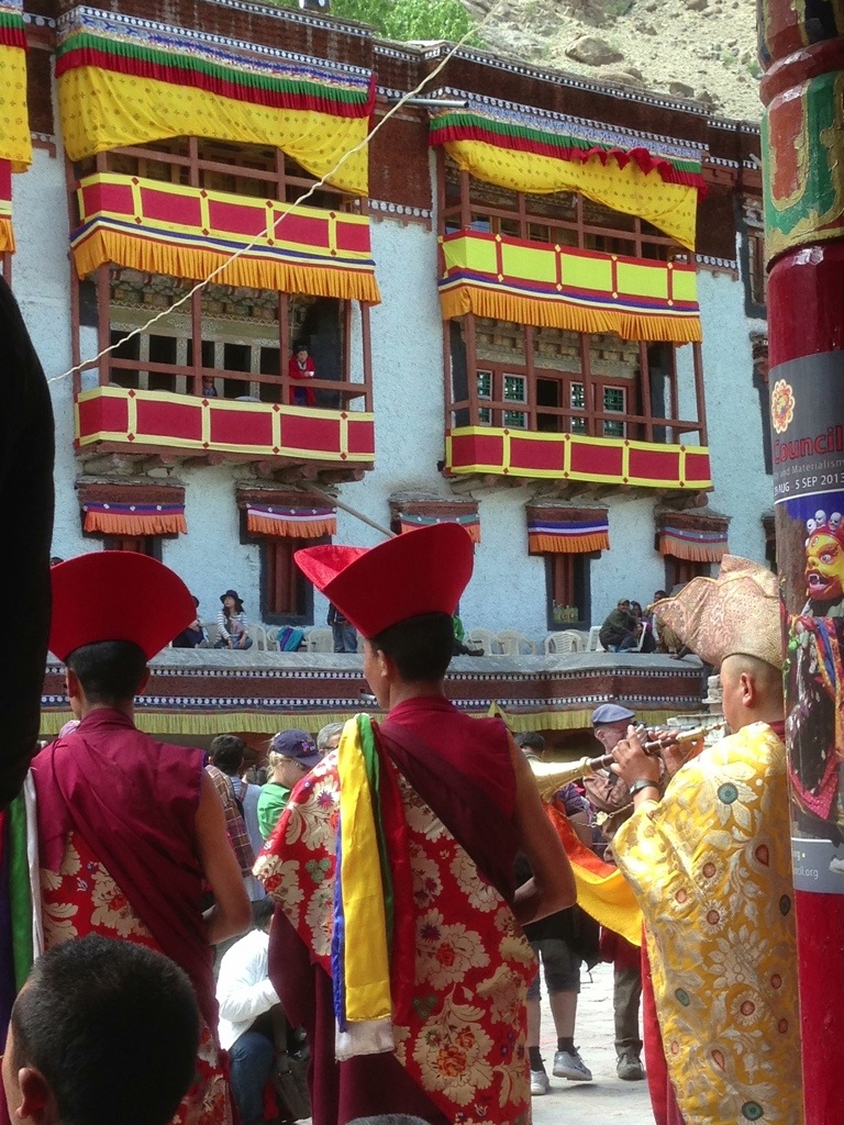
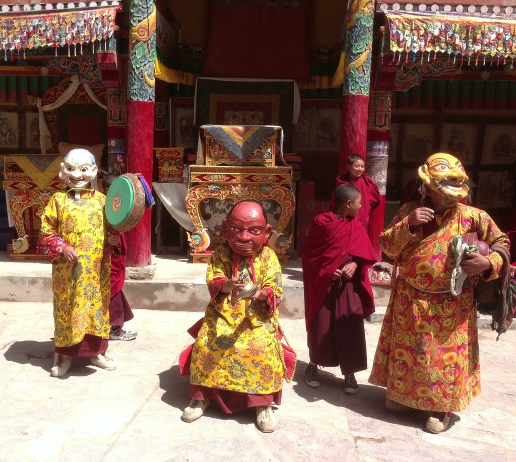
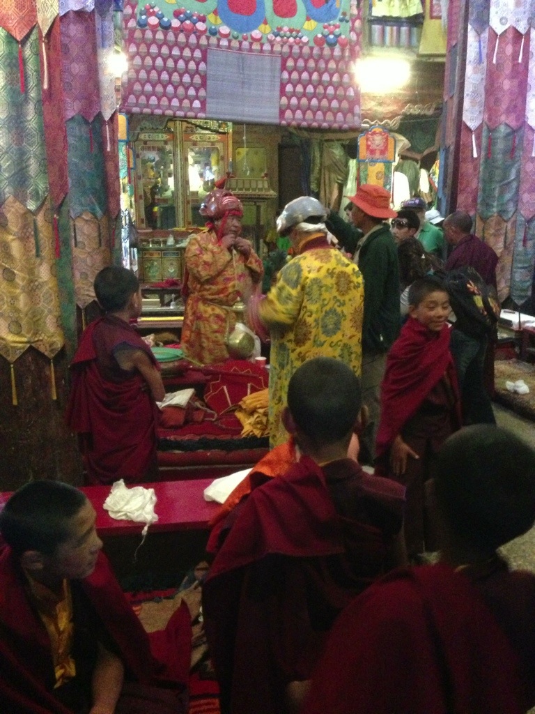
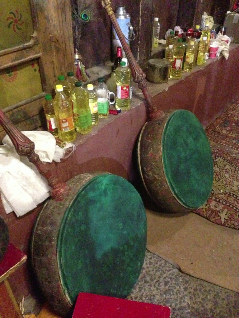
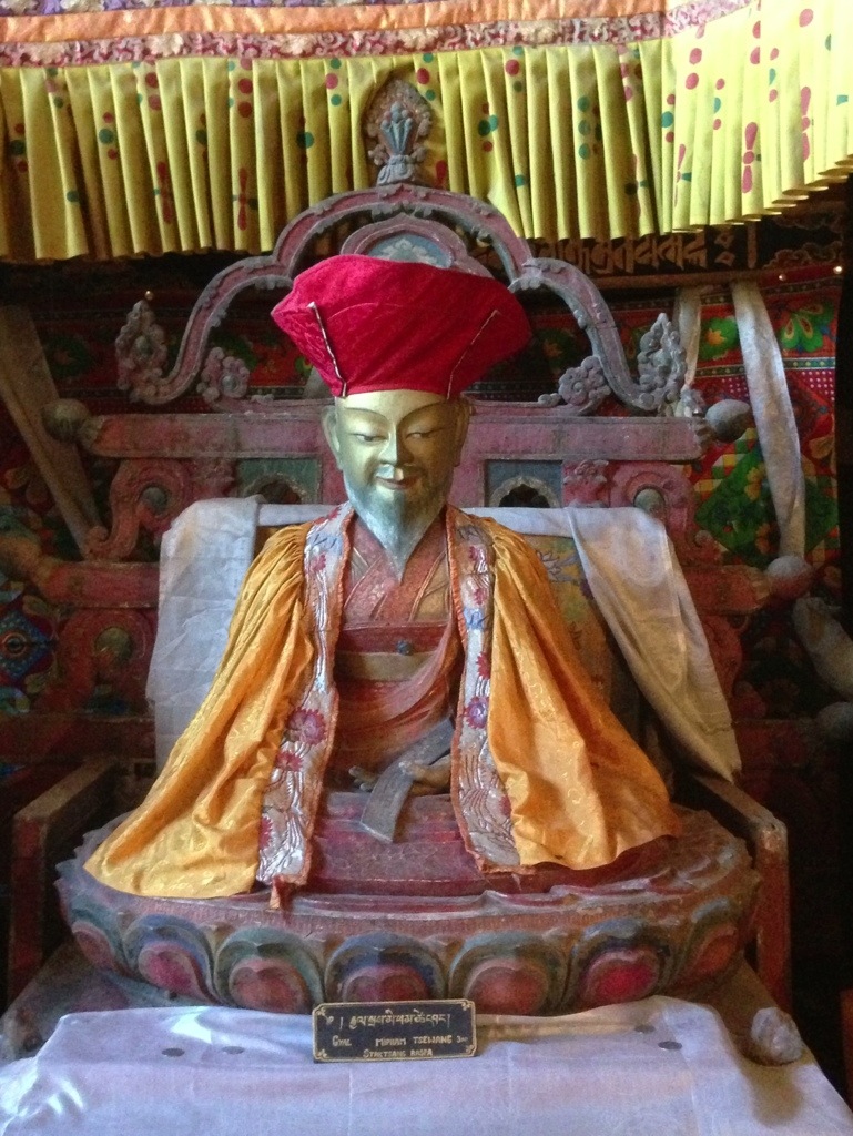
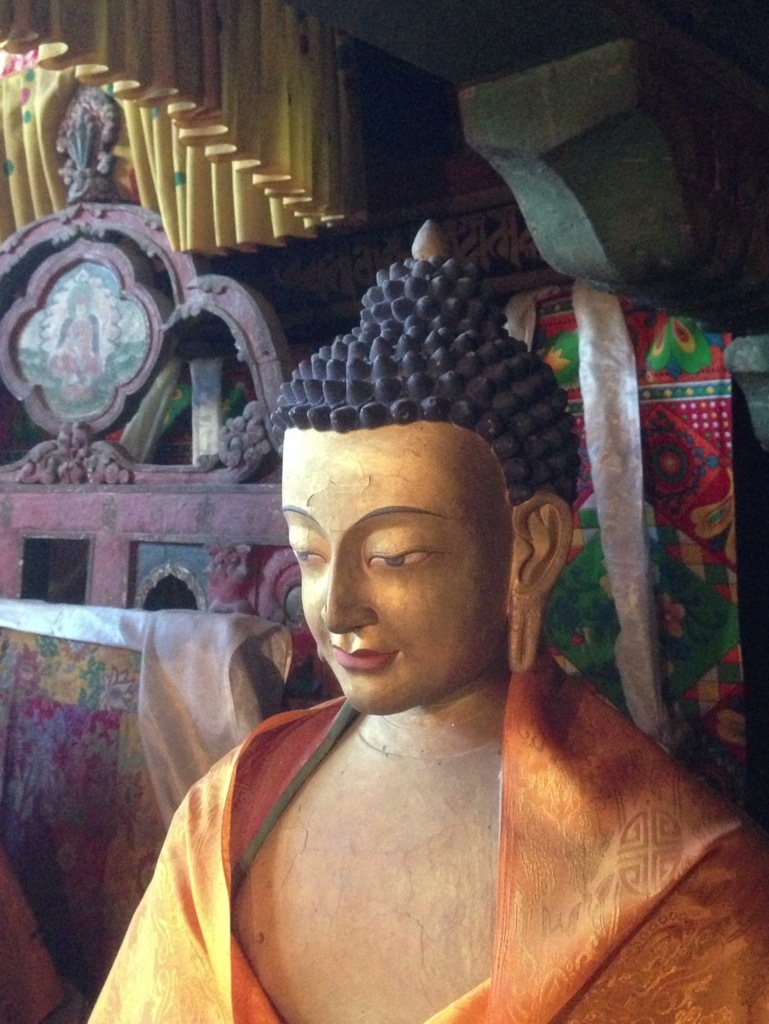
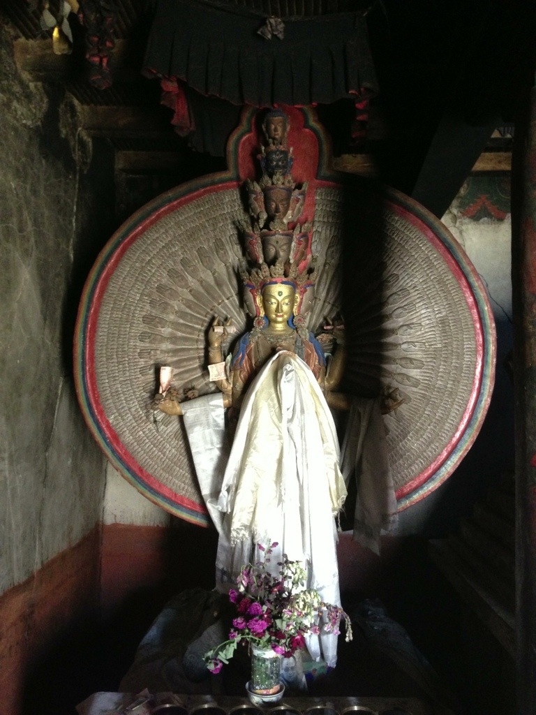
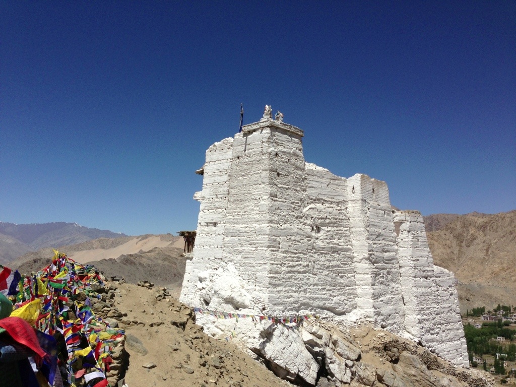
Another afternoon I cycled to the Buddhist Gompa at Spituk. It is quick journey from Leh downhill past the military base and Leh airport. Behind the Gompa lay the river Indus which provides an essential and symbolic link with Northern India.


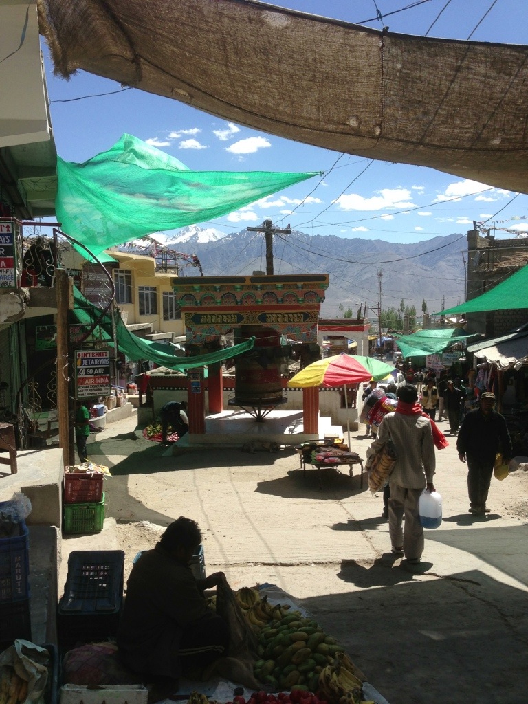
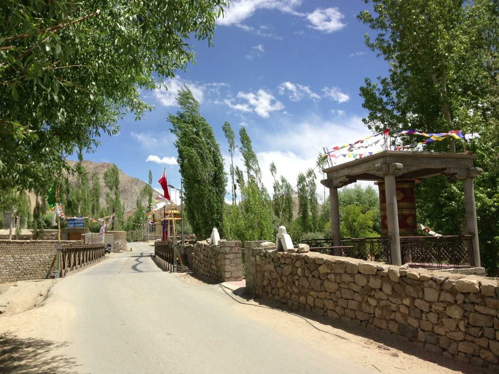
As a ‘tourist’ it is easy to feel like an unwilling contributor to the gradual demise of Leh. Ladakhis are very much aware of the radical changes brought about by tourism. But the bottom line is that tourism equates with money and income for the region as a whole. It is ‘acceptable’. No doubt in a few years time the main bazaar road will boast of a Macdonalds, Starbucks and maybe even a Dunkin Donuts.
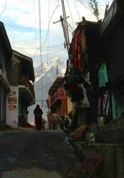
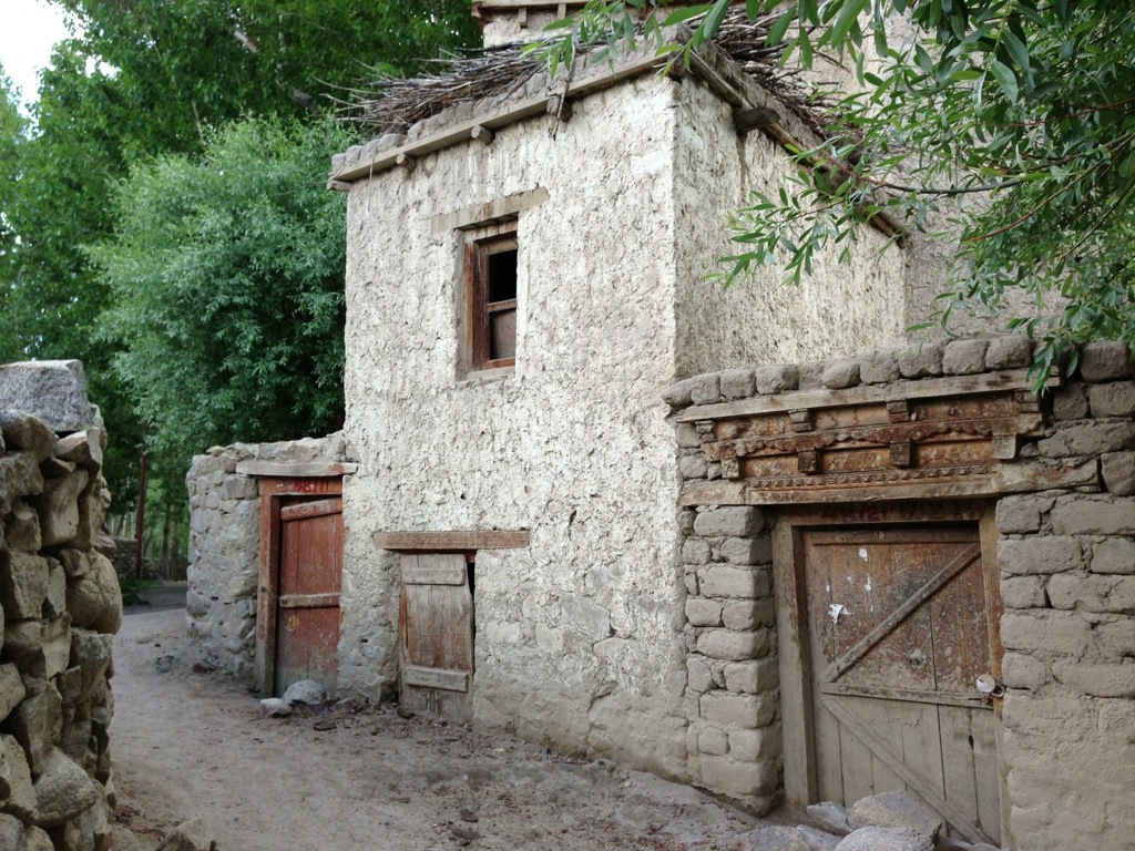
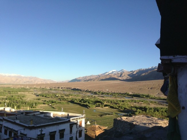
Leh is filled with clothing, trekking and souvenir shops catering for tourists and backpackers. Add in the profusion of hotels, restaurants, travel and sports centres and Leh has become transformed into a tourist Mecca. As in Manali motorcycles are big business with many gas guzzlin’ wannabe ‘easy riders’ wanting to explore Ladakh to its remote borders with Pakistan and China whilst conquering some of the most arduous and highest roads in the world. Every day in Leh a new ‘tourist’ shop, restaurant or hotel opens. Sadly, and with so many beautiful destinations; Leh, Ladakh and its remote locations are slowly becoming just another adventure playground for the West and wealthy tourists. But at least the harsh winter conditions provide some seasonal respite from the gradual assault.
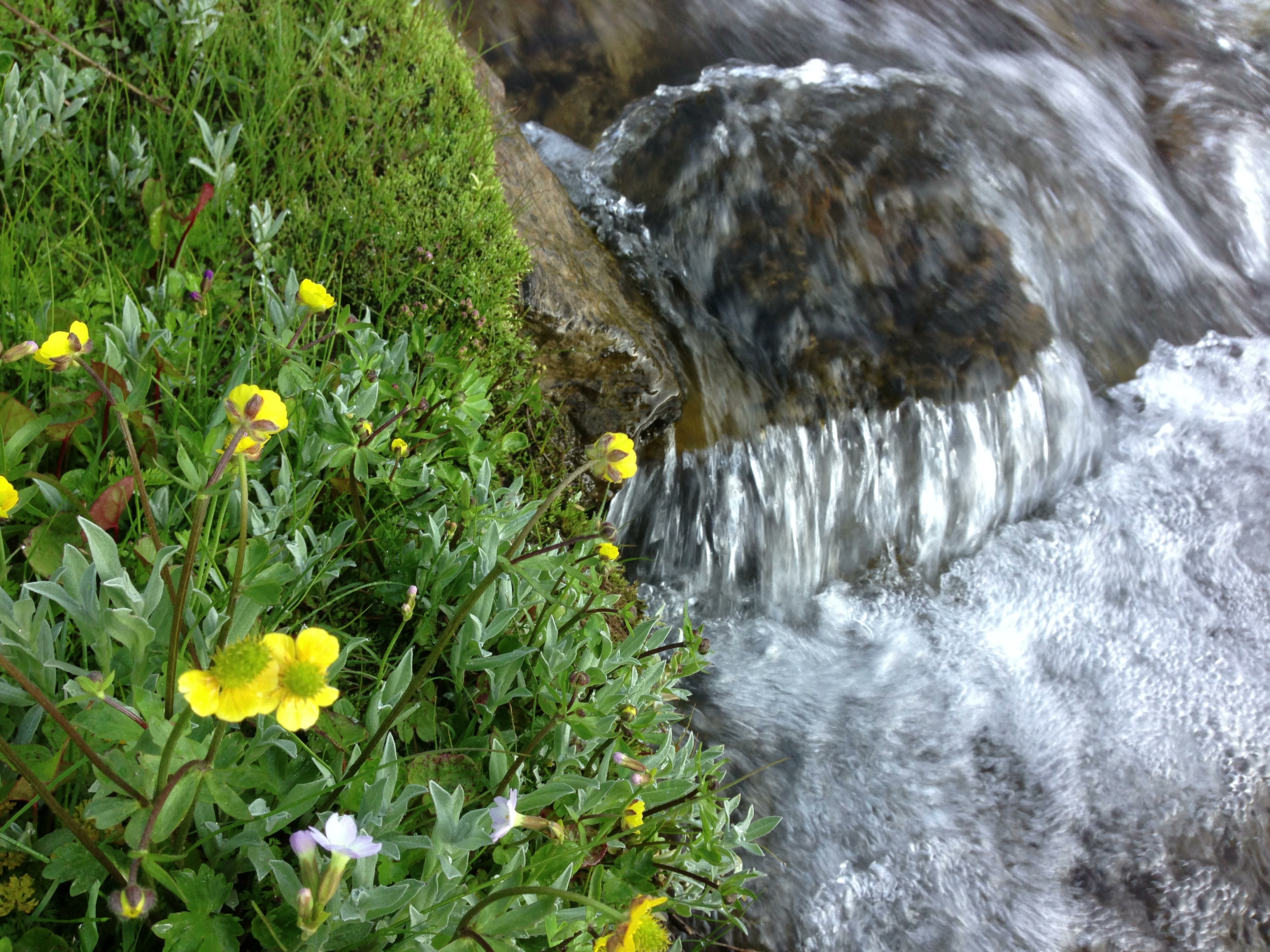
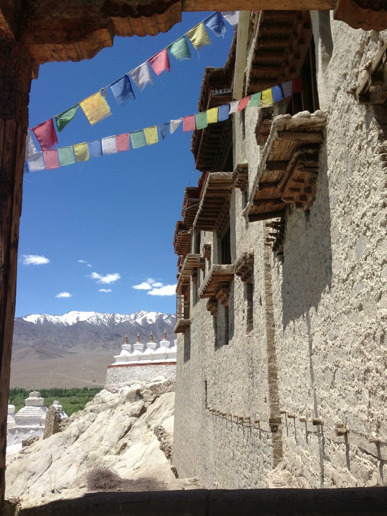
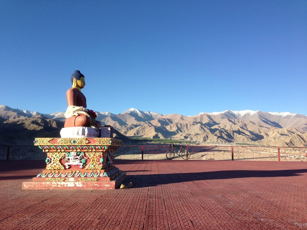
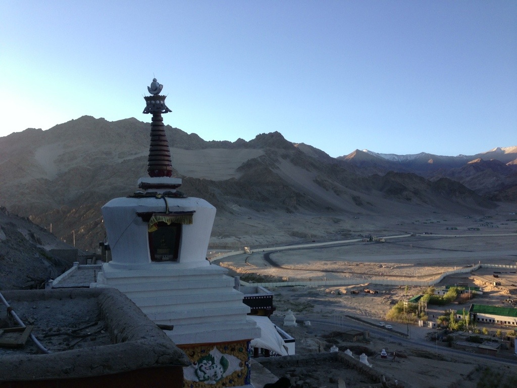
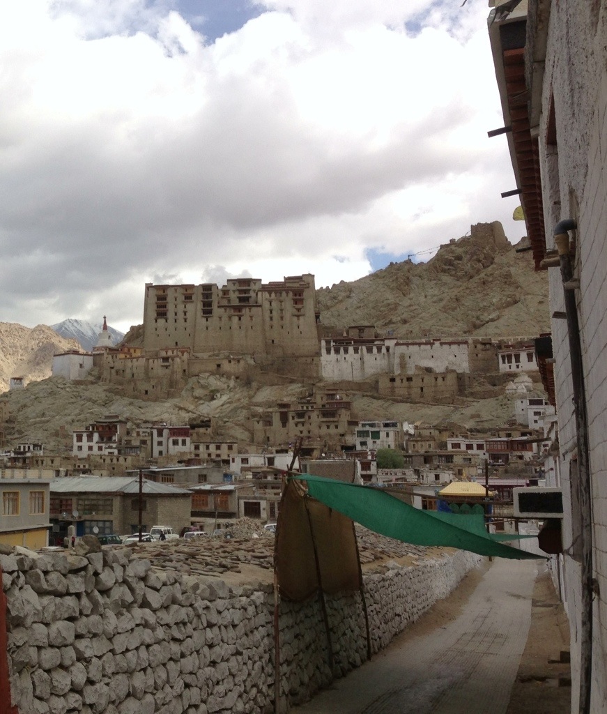
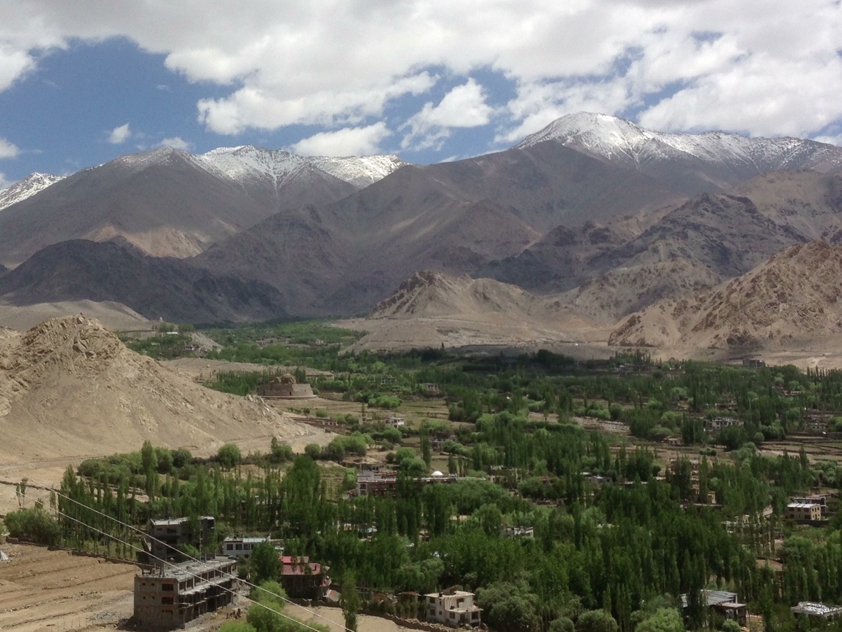
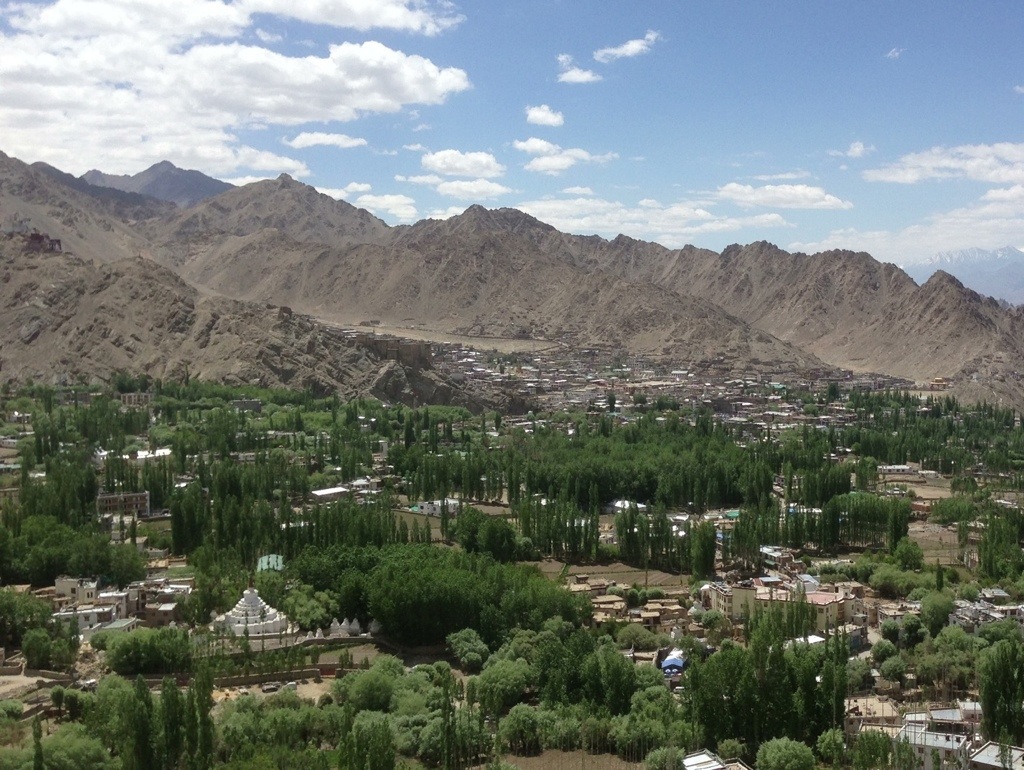
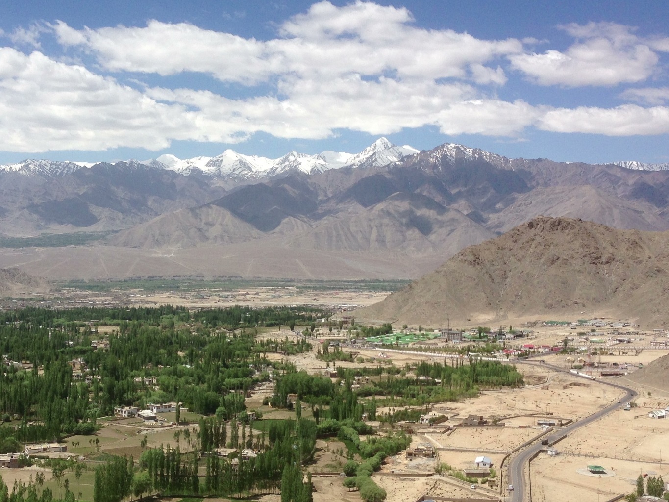
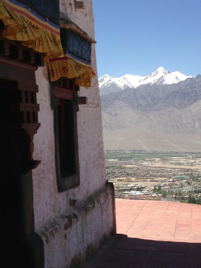
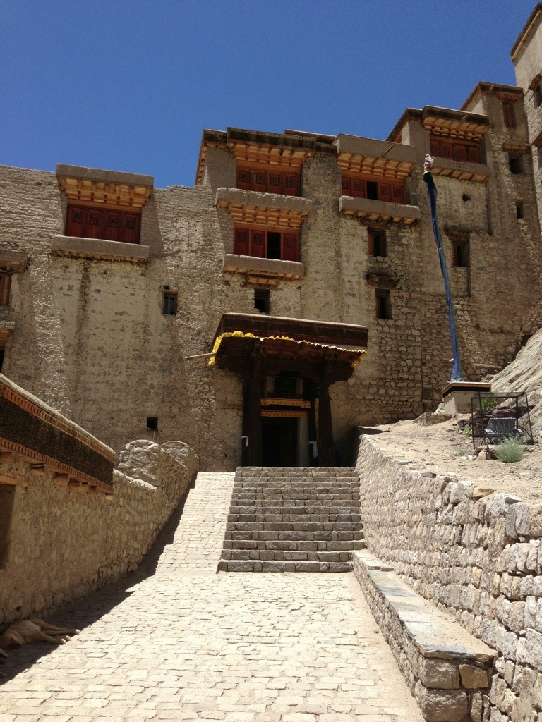
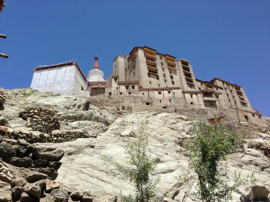
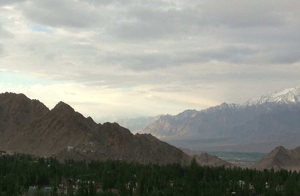
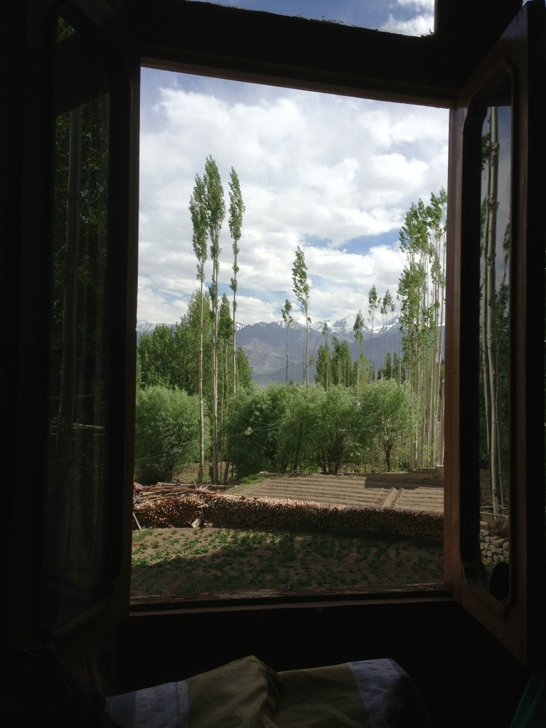
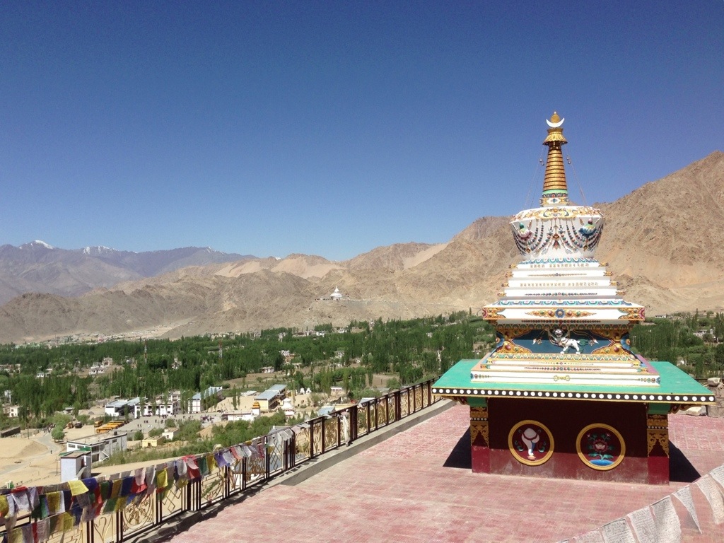
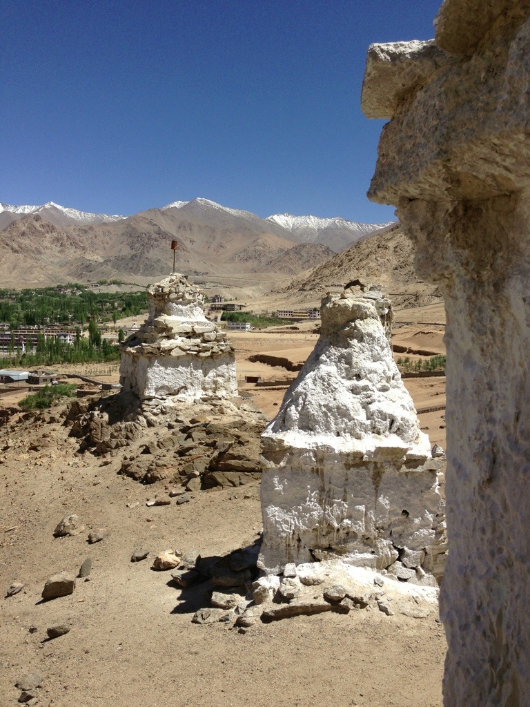
Leh remains, at present, a little slice of heaven. Buddhist chortens and shrines dot the roads and Ladhakis cultivate the fields as they have done for generations. The city is nestled in the most incredible scenery with snow capped mountain ranges in every direction. The view from the Shanti stupa on a hill overlooking Leh is one of peace, tranquillity and enduring beauty. It is the closest I am likely to ever get to Shangri-La.


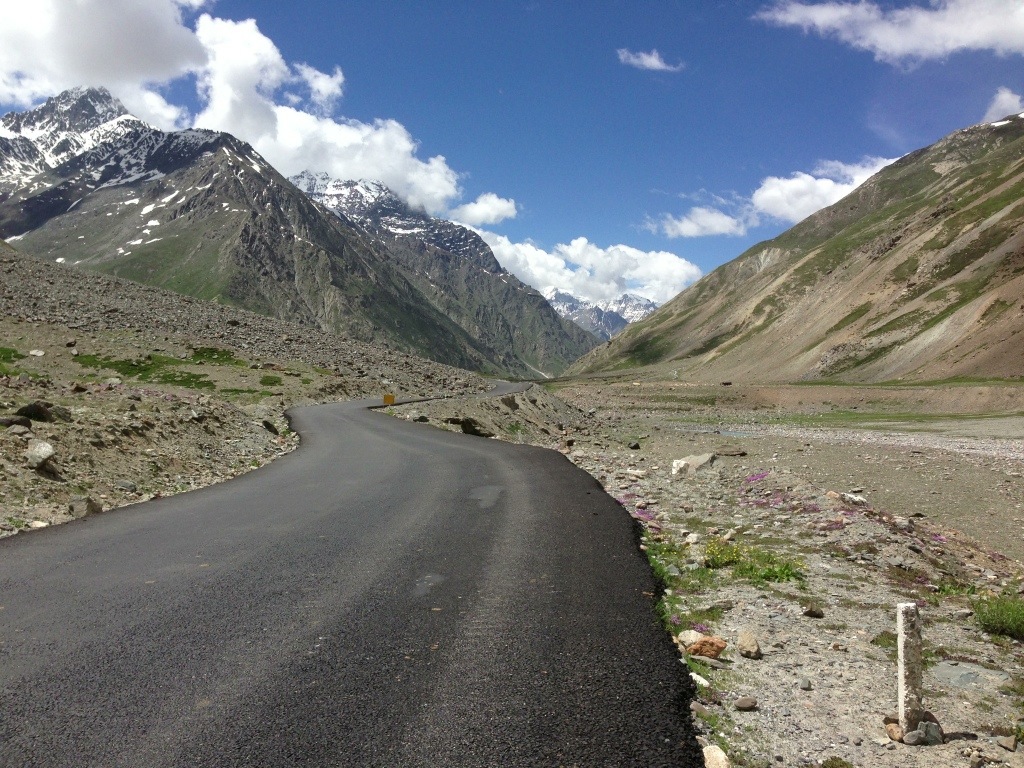
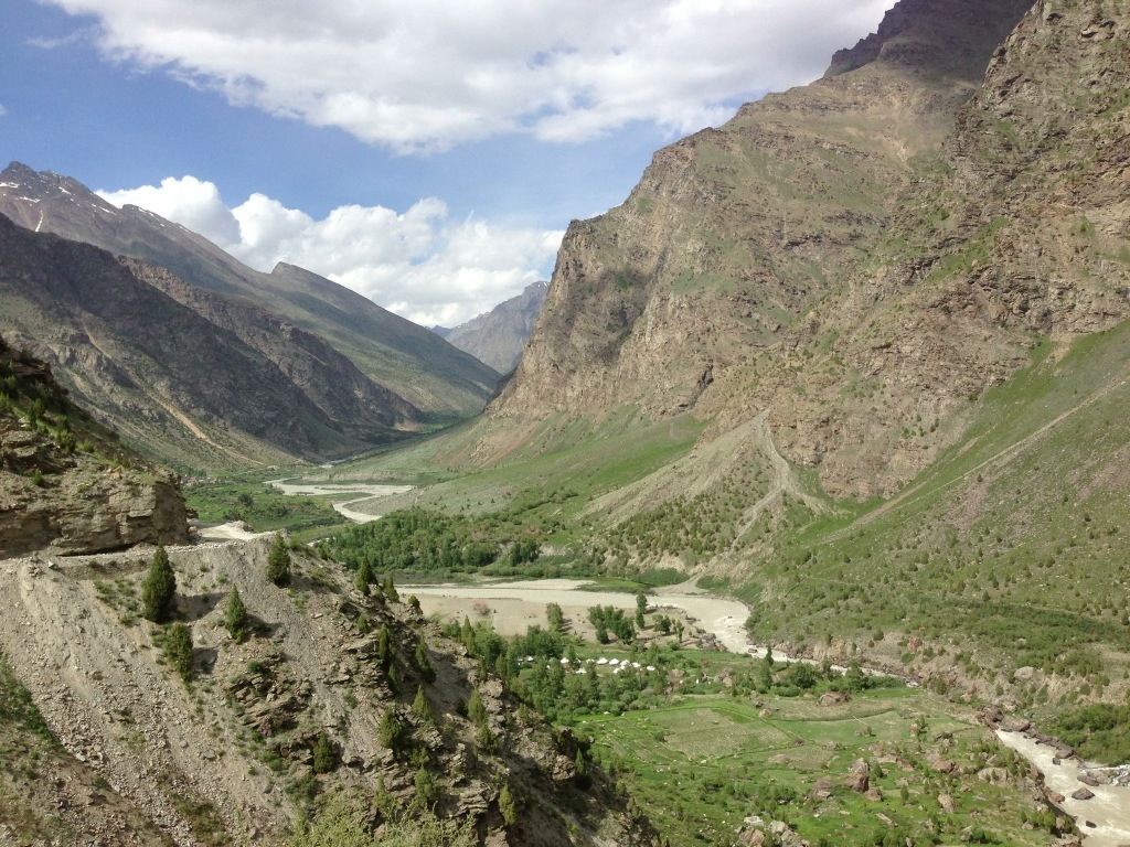
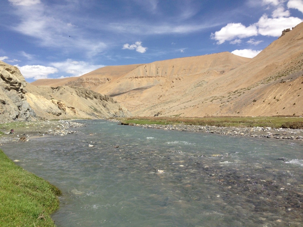
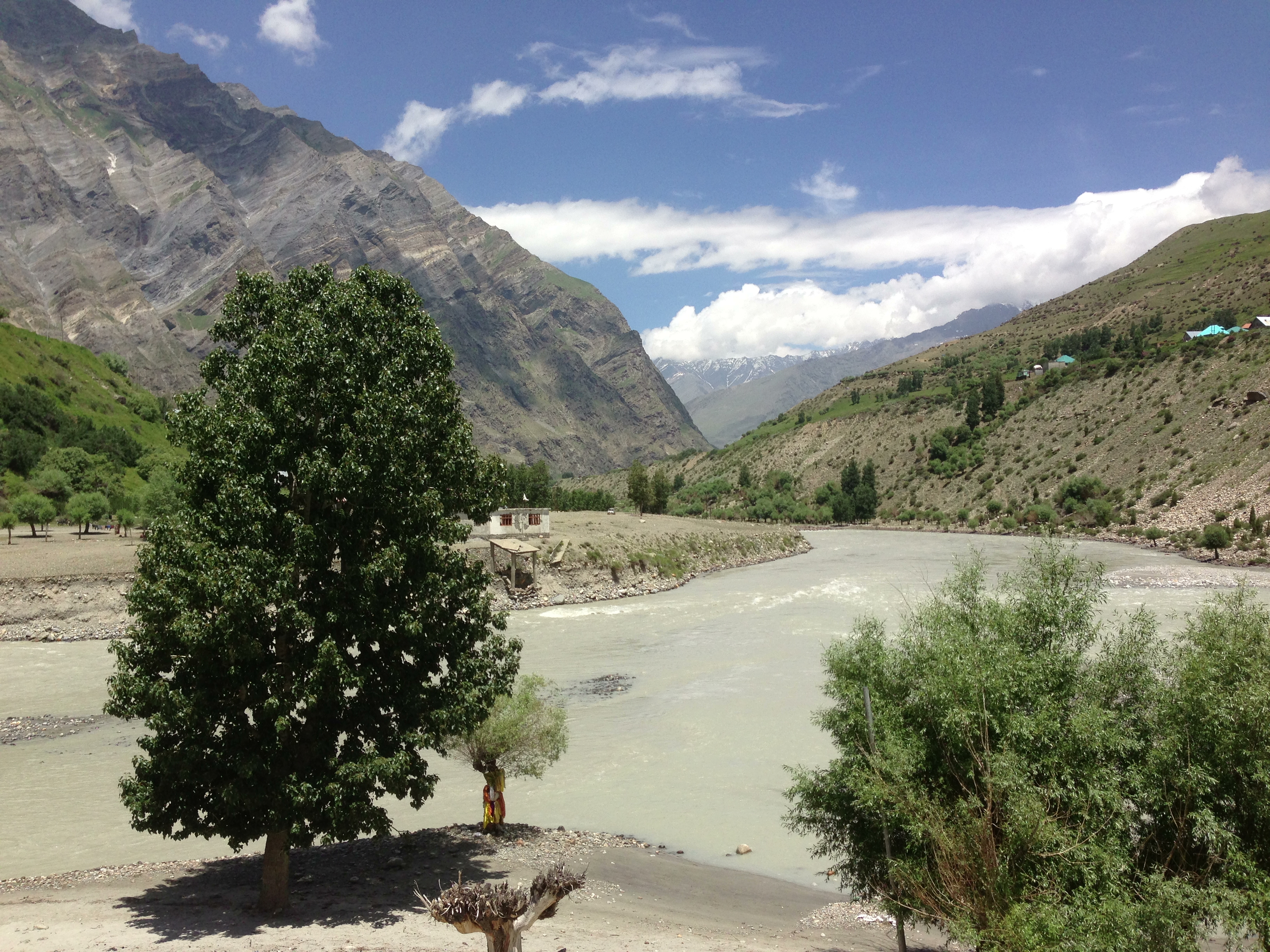 With some regret I cycled away from Keylong. I could quite happily have stayed for longer but the weather and bicycle would not let me. We set off mid morning along the lower road picking up mutton momo, indian sweets and mangos from local shops. A little climb out of the town to rejoin the highway and then down into a left curve. The road went East past the confluence of the Bhagu and Chandra rivers.

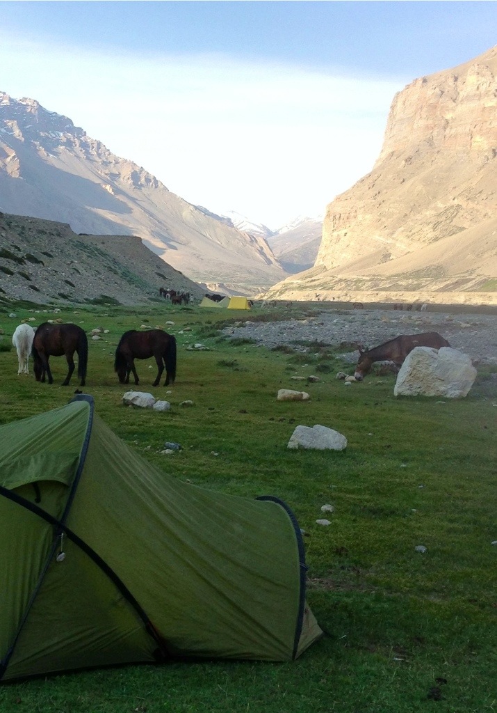
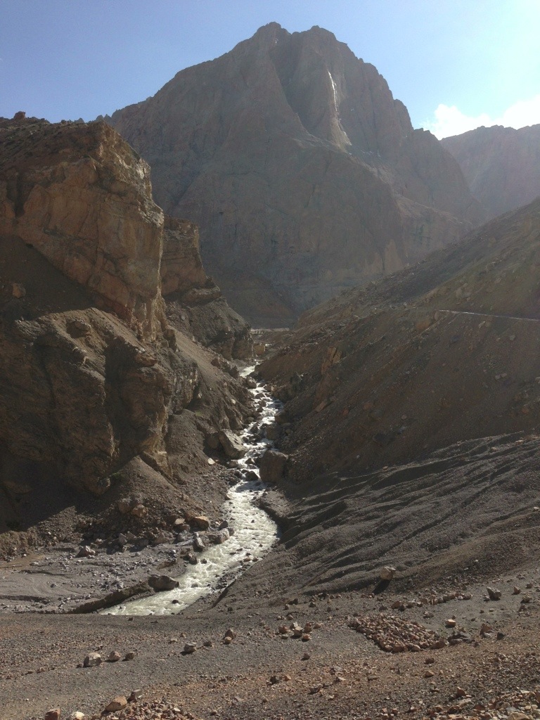
 We stopped for a thali and delicious thick honey pancake at Sissu. Once again the plan was to get as close as possible to the Pass and camp. Past the settlements of Damphug and Khoksar the road began to wind slowly upwards. We camped just beyond the dhabas at Gramphu. Clouds clung to the mountains and the road disappeared above through a long series of hairpin bends. It began to rain.
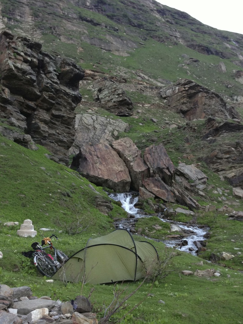
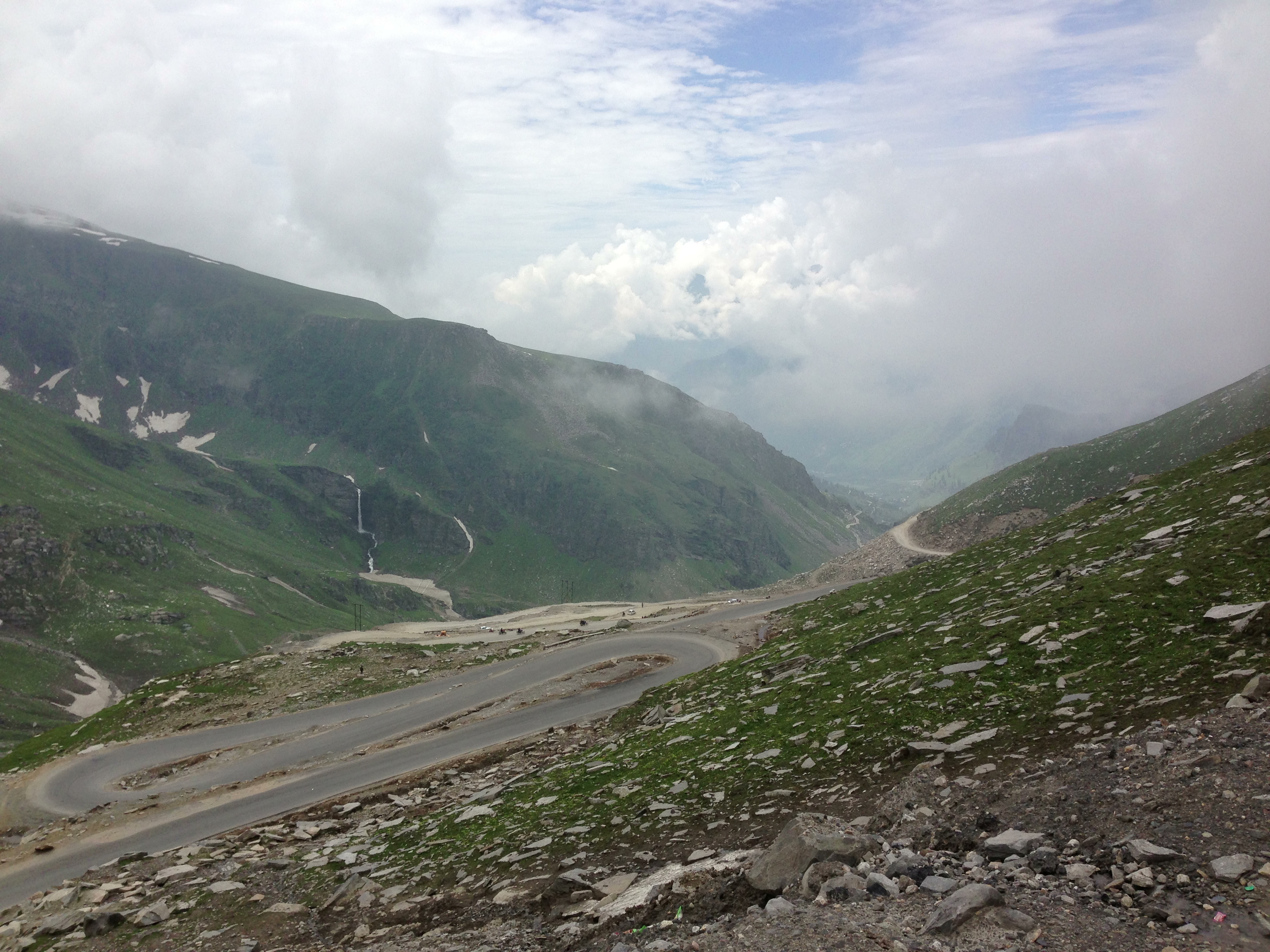
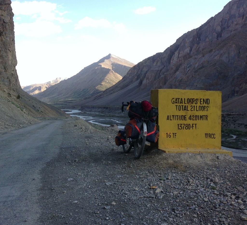
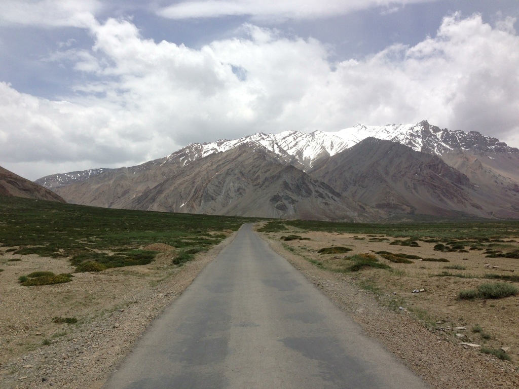
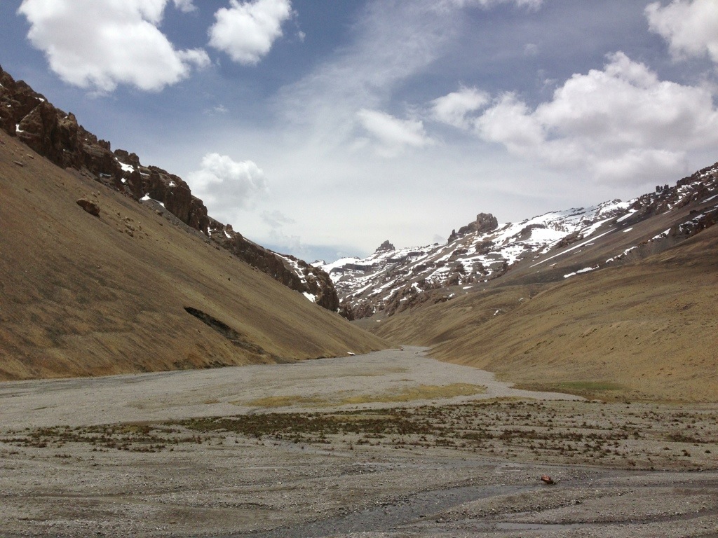
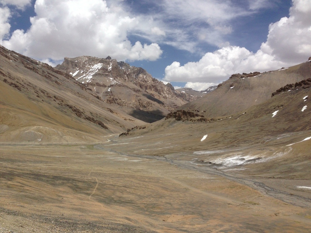
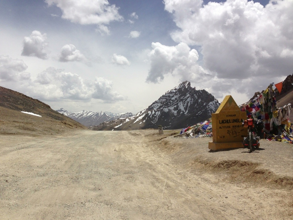
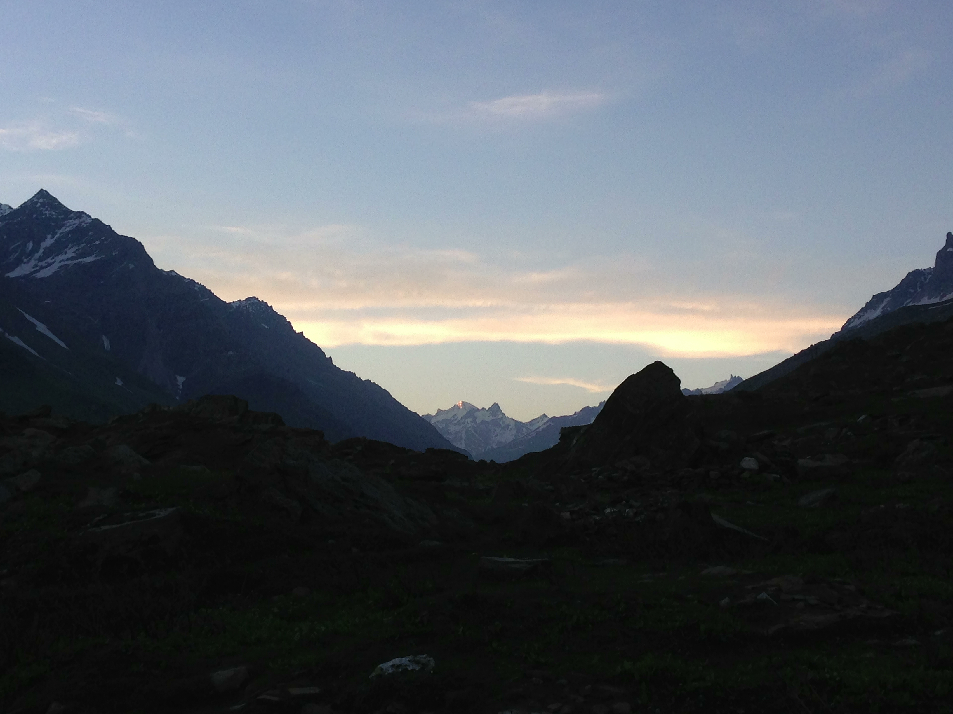 I awoke early the next day, cooked breakfast and began the long ride up towards the pass. The sky was clear and the sun began to heat up the road. Although at just under 4000 metres it was not the highest pass to cross it was to be the most difficult and longest climb. Rohtang literally means ‘piles of bodies’ and refers to the number of people that had died having been caught by the extreme changes of weather that can occur there. The road surface was fairly mixed with some sections reduced to rubble. Luckily, and as with the journey from Leh as a whole, the weather held up and the morning sun lifted the clouds away from the summit of the Pass. It was slow hard work and I rested about halfway and waited for Joachim but could still see his tent pitched far below. Once at the top and close to a Buddhist stupa I met an English cyclist heading to Leh on his Trek expedition bicycle. . I asked him to pass a message to Joachim that I was going to continue on past the summit and begin the ride down the other side towards Manali. The Rohtang La itself was extremely busy and crowded with Indian tourists many of whom were on day trips from Manali to visit and play in the snow.